
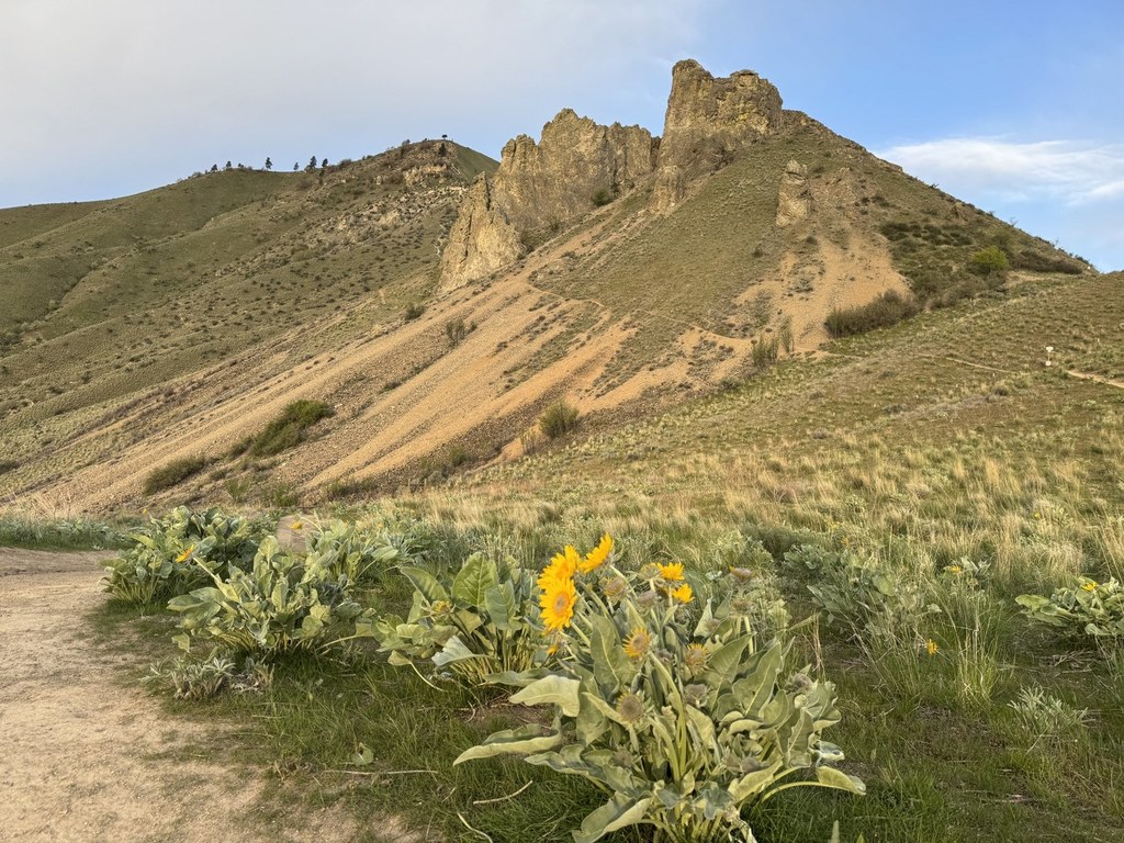

Another favorite area near Sage Hills and Horse Lake Reserve is Castle Rock, which is home to great trails for hikers who want adventure near Wenatchee. This hike will take you to the top of Castle Rock, an iconic feature of the Wenatchee skyline. Springtime brings vibrant color to the area with arrowleaf balsamroot, bare-stem lomatium, bluebells, buttercups, and many more! Fall can be equally stunning, with the sumac leaves turning bright red and large fields of snow buckwheat blooming.
A single-packed dirt path meanders up the hillside, with views of the Wenatchee Valley appearing quickly. There is a nice flat overlook to take a break before continuing on up the Castle Rock circumnavigation. As you hike up, the trail becomes rockier and a little more slippery with small rocks.
- Bikes are not allowed on these trails but are welcome in many other areas. Consider visiting Sage Hills, Squilchuck State Park, or Number 2 Canyon.
- Dogs are now allowed on all parts of the property. Please keep your pets leashed and clean up after them.
- This trail is opening in the winter, but please stay off muddy trails, as foot tracks accelerate erosion. Please check CDLT's Trail Conditions page for updates on mud and closures.
This area preserves a key piece of Wenatchee's gorgeous natural backdrop. As with many of the foothills properties, this area is co-managed by the Chelan Douglas Land Trust (CDLT) and the City of Wenatchee. The trailhead and Lower Castle Rock are owned by the City of Wenatchee, and the summit and Castle Rock Ridge property are owned by CDLT.
The trailhead is equipped with a sheltered picnic plaza, a restroom, and a parking area.
Additionally, keep in mind the summer heat; if you're visiting in the summer, consider coming in the morning or evening to avoid extreme heat.
WTA Pro Tip: This hike has many options! The trails on Lower Castle Rock provide different options for smaller loops with a number of equally stunning viewpoints.
 Trailhead


