
The route to Cheops is a Class 3 and involves exposed scrambling. Gear and experience are recommended.
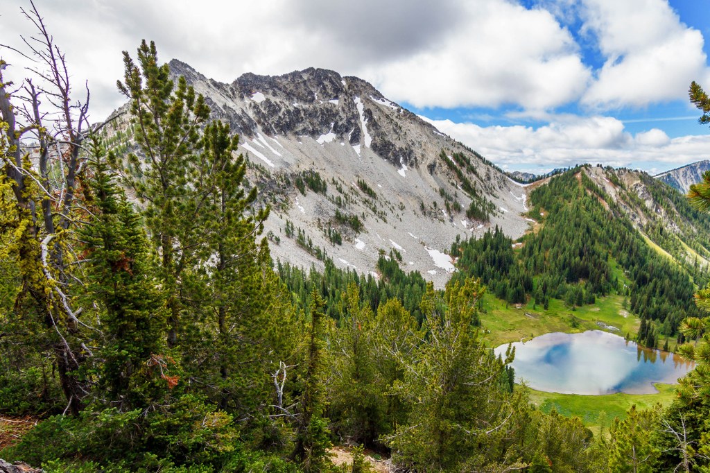
Point 8270, often referred to as Cheops sits within the Chelan-Sawtooth Wilderness and can be reached from the Eagle Lakes Trailhead.
Trails for everyone, forever

 Trailhead
WTA Pro Tip: Save a copy of our directions before you leave! App-based driving directions aren't always accurate and data connections may be unreliable as you drive to the trailhead.
From Twisp drive State Route 20 east for 2 miles. Continue south on SR 153 for 12 miles. At milepost 19 turn right onto Gold Creek Loop Road and drive 1.5 miles to a T intersection. Turn left onto County Road 1034, signed for Foggy Dew Campground. (From Pateros follow SR 153 north for 17 miles. Turn left onto Gold Creek Loop Road and drive 1 mile, turning left onto County Road 1034.) In 1 mile come to a junction and continue straight onto Forest Road 4340. The pavement ends at 4 miles (bear right), and at 5.4 miles reach an intersection. Turn left onto FR Spur 300 and follow this rough-at-times road 4.6 miles to a large trailhead parking area (elev. 4700 ft).


