Trails for everyone, forever

Home Go Hiking Hiking Guide Chesaw Wildlife Area
link

Chesaw Wildlife Area

Eastern Washington > Okanogan Highlands/Kettle River Range
48.9428, -119.0700 Map & Directions
Despite not having a formal trail system, Chesaw Wildlife Area is a great place to see wildlife and wildflowers. Photo by Holly Weiler. Full-size image

The Chesaw Wildlife Area is also known as the Chesaw Wildlife Unit/Scotch Creek Wildlife Area Chesaw. Continue reading

  • Wildflowers/Meadows
  • Wildlife
  • Lakes
  • Rivers

Parking Pass/Entry Fee

Discover Pass
Rating
0.00 out of 5

(0 votes) Log in to rate

Hiking Chesaw Wildlife Area

The Chesaw Wildlife Area, also called the Chesaw Wildlife Unit/Scotch Creek Wildlife Area Chesaw, consists of 4.351 acres in Okanogan County near the Canadian border.

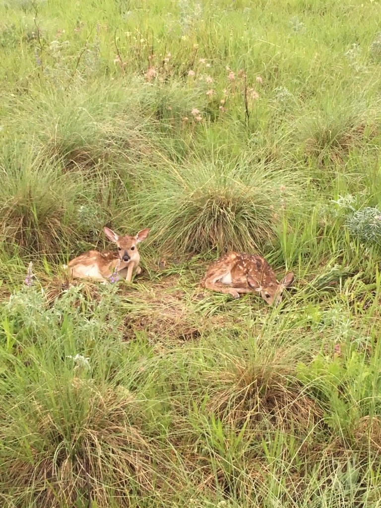
Currently, no formal trail system exists in the wildlife area, but old farm and logging roads, which are closed to motorized vehicles, can be used to explore the beautiful area. Hike, bike or ride a horse to see the flora and fauna that make this area home.

Chesaw Wildlife Area

Map & Directions

Trailhead
Co-ordinates: 48.9428, -119.0700 Open in Google Maps

Before You Go

See weather forecast

Parking Pass/Entry Fee

Discover Pass

WTA Pro Tip: Save a copy of our directions before you leave! App-based driving directions aren't always accurate and data connections may be unreliable as you drive to the trailhead.

Getting There

There are several ways to access the Chesaw Wildlife Area. Access to the area can be found adjacent to Mary Ann Creek Road, Byers Road out of Chesaw or Bolster Road.

More Hike Details

Trailhead

Eastern Washington > Okanogan Highlands/Kettle River Range

Washington Department of Fish and Wildlife, Scotch Creek Wildlife Area

Guidebooks & Maps

Department of Fish and Wildlife Map: https://bit.ly/2RCbXM9

You can improve or add to this guidebook entry

Chesaw Wildlife Area

2 Trip Reports

Hiked here recently?

Submit a trip report!
 
Trip Reports