

Hiking through the sagebrush steppe is generally wide open: huge vistas of rolling hills, faraway mountains, endless sage and bitterbrush. The trail here can vary in length due to seasonal closures. Nearly the entire trail is an old roadbed which served a USFS fire lookout from 1934-58. Though the first few miles are very much a road the openness of the terrain makes this easy to forget. The last mile or more has long been abandoned and is quickly being reclaimed.
Your hike may begin at one of two parking areas depending on seasonal closures, though I recommend simply starting at the lower parking area year-round to fully enjoy your time and to give your car a break. The first mile of road closely follows a drainage gaining about 500 feet.
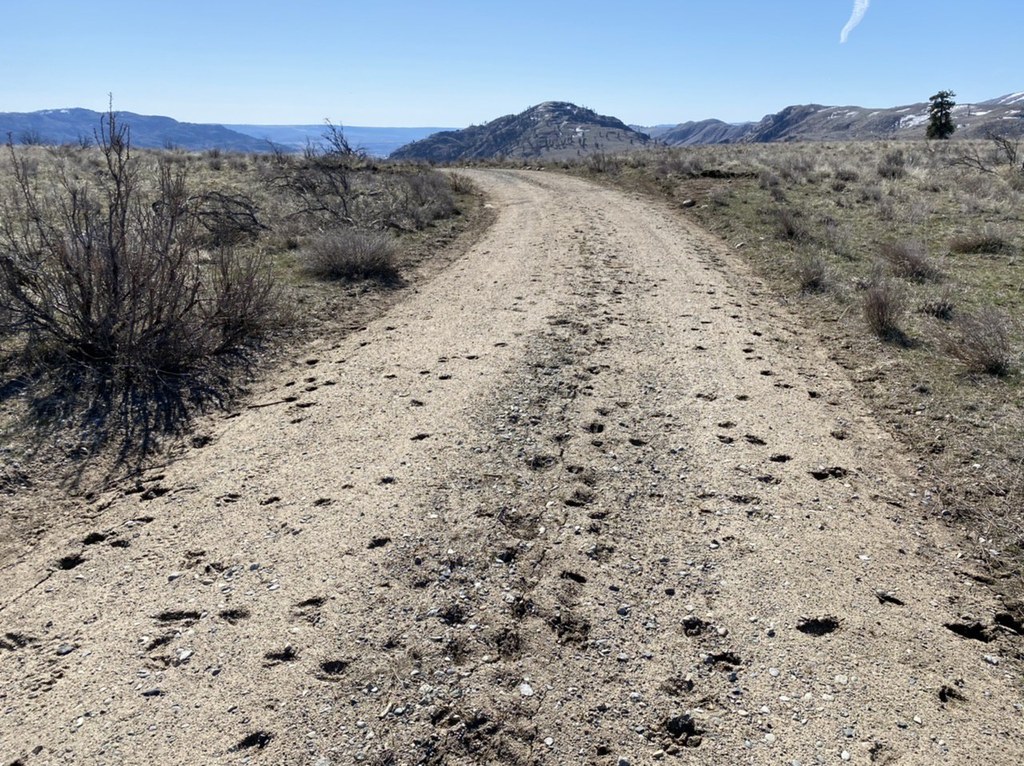
Note the prolific deer paths that seem to shortcut every switchback in the road, but don't follow them. Stay on trail to avoid erosion. At 2000 feet, a large plateau is reached. Halfway across this plateau is the second parking area. Be sure not to park in the tall grasses as your car’s heat can start a grass fire. The parking sign can be confusing as the true parking that has been cleared of grass is about 200 yards further across the plateau.
From this secondary parking area the road begins to really degrade as nature does her thing. The views really open up and snowy peaks can be seen in the distance. Fire has ravaged this area but mature ponderosas remain and large, dense stands of birch are reclaiming the landscape. Binoculars are good to have as many songbirds frequent the area. The road has a split or two but so long as you keep ascending you will stay on the correct path.
At about 2700 feet, the terrain starts to become rockier with large outcrops of exfoliating granite. The trail follows a draw between two large knobs, the righthand one being your objective. In the draw the fire really raged. Many downed trees have made the trail hard to follow here as it wraps around the northern end of the knob and to the summit. If the trees become too much you may ascend the last 100 feet cross country.
A few remnants of the fire lookout remain though mostly in the form of garbage. The views though, are fabulous. The Okanogan River stretches out lazily below, To the north and east the Kettle Crest Range forms an inviting ridgeline. Far to the west the jagged peaks of the Sawtooth mountains poke up their heads.
Note on History
Chiliwist or Chillowist is an area with a long history. A much longer trail existed in prehistoric times used by indigenous peoples. This trail provided the first access for white settlers to the fertile Methow Valley in the mid nineteenth century. Chiliwist Butte sits on the eastern end of this trail where the Okanogan Valley rises to meet the high country.
The sagebrush steppe community with a light dappling of ponderosa pines overlays numerous granitic outcrops. Today farming is no longer profitable here and much of the land has been repurposed as a game preserve. Mule deer winter here. Sharptailed grouse, sage grouse, meadow larks, mountain bluebirds and many others make this home. Evidence of coyote, jackrabbits, and other mammals is abundant.
Note: The upper parking area closed for wildlife January through May


