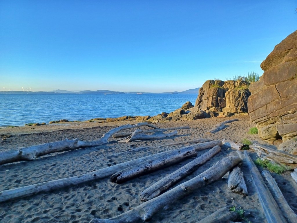

In 2023, construction on a safe pedestrian path from the Lost Lake Trailhead in Larrabee State Park to Clayton Beach was completed. Hikers can now take this half-mile trail to the shore and explore the beach.
Clayton Beach

-
 Length
- 1.2 miles, roundtrip
-
 Elevation Gain
- 200 feet
-
 Highest Point
- 220 feet
Parking Pass/Entry Fee
Discover Pass
Take a short trail from the Lost Lake Trailhead to Clayton Beach, where you'll find nearly a mile of shoreline to explore.
Continue reading
Hiking Clayton Beach

WTA worked here in 2025, 2024 and 2018!
Clayton Beach
Map & Directions
 Trailhead
Before You Go
Parking Pass/Entry Fee
Discover PassWTA Pro Tip: Save a copy of our directions before you leave! App-based driving directions aren't always accurate and data connections may be unreliable as you drive to the trailhead.
Getting There
From Bellingham, head south on Chuckanut Drive (SR 11) for approximately 9 miles. The trailhead is about half a mile south of the Larrabee State Park Campground entrance/main Larrabee State Park entrance.
There is a Level 2 EV charger at the parking lot, which can charge 2 cars at one time. Note that you must have a Discover Pass to park. This is the only state park EV charging station in Northwest Washington.


