Trails for everyone, forever

Home Go Hiking Hiking Guide Cordata Park

Note: Recent flooding has closed trails and roads, including major highways and forest roads. Respect closures, check forecasts, go with a backup plan, and stay safe out there. Thanks for your trip reports!


Cordata Park

Puget Sound and Islands > Bellingham Area
48.8041, -122.4951 Map & Directions
Length
1.0 miles, roundtrip
Elevation Gain
0 feet
Highest Point
190 feet
Calculated Difficulty About Calculated Difficulty
Easy
A cloudy day at the park. Photo by Liz Rainaud. Full-size image
Saved to My Backpack

This park has something for everyone! There is a large, fully accessible shelter with picnic tables, BBQ, sink and electricity. In addition, pump track, playground, splash pad and exercise equipment are sure to provide some fun for all who visit Cordata Park. Continue reading

Rating
0.00 out of 5

(0 votes) Log in to rate

Hiking Cordata Park

At the trailhead, you will find plenty of paved parking and restrooms. There are lots of concrete areas for wheeled equipment, including some of the playground equipment. 

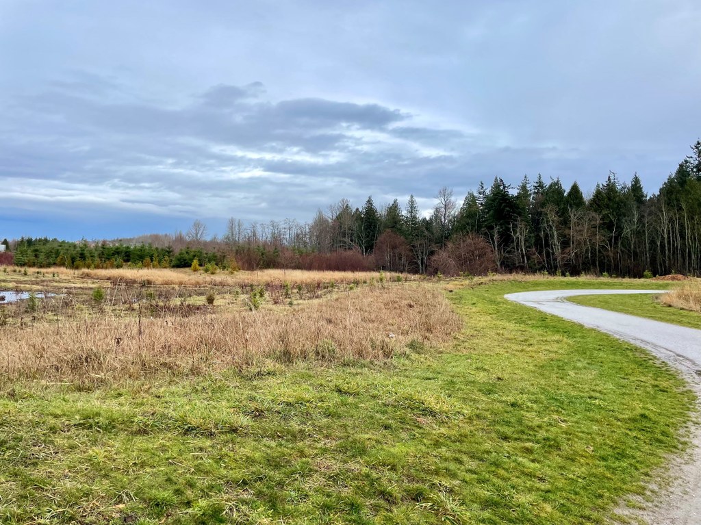
Several gently sloped bridges cross streams where you can stop and enjoy the views. Well-placed benches are available, too. Many birds — including eagles and waterfowl — may be seen along the way. There are approximately 14,000 trees in this 25-acre park with more being planted for future hikers to enjoy.

During the spring and winter areas of the trail may have shallow standing water. During the warmer months, the fully accessible splash pad is open for many to enjoy!

Toilet Information

  • Toilet at trailhead
  • Accessible toilet
  • Toilet has running water

More information about toilets

Wheelchair Accessibility

The trails here are wide, packed gravel trails suitable for walking, wheelchairs and strollers. There are also wheelchair-accessible restrooms with full plumbing.

Cordata Park

Map & Directions

Trailhead
Co-ordinates: 48.8041, -122.4951 Open in Google Maps

Before You Go

See weather forecast

WTA Pro Tip: Save a copy of our directions before you leave! App-based driving directions aren't always accurate and data connections may be unreliable as you drive to the trailhead.

Getting There

From I-5 north, take exit 256A. Continue north on Meridian St for about 1 mile, then go east on Kellogg Rd. Take the first exit at the roundabout and Cordata Park is 0.4 miles ahead on your right. 

If you want to take the bus, take Whatcom Transit Authority route 24 or 29 to stop 3226 (Cordata Parkway at Horton Rd).

More Hike Details

Trailhead

Puget Sound and Islands > Bellingham Area

City of Bellingham

You can improve or add to this guidebook entry!

Cordata Park

3 Trip Reports

Hiked here recently?

Submit a trip report!
 
Loading trip reports...
Trip Reports