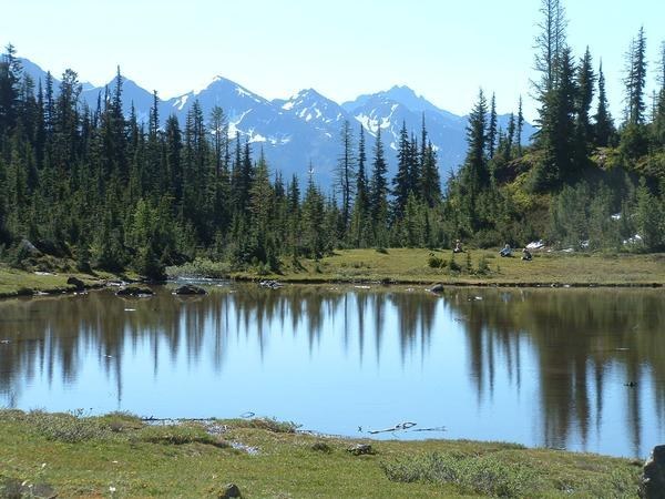
Trails for everyone, forever

Home Go Hiking Hiking Guide Crater Mountain
WTA is a nonprofit that needs you

We're just as excited as you to get the summer hiking season started. We're psyched our website, app and work for trails help you get outside.

But we're a nonprofit that runs on donations from regular people. If everyone who visited this site this holiday weekend donated $9/month, it would fully fund our work for the next 2 years. Time spent outdoors is priceless, but every donation large or small helps us support those experiences for everyone. Thank you and happy hiking!


Please take 2 minS to chip in $9

link

Crater Mountain

North Cascades > North Cascades Highway - Hwy 20
48.7079, -120.9771 Map & Directions
Pristine lake along Crater Mountain, photo taken by HikerJim.
  • Mountain views
  • Lakes
Saved to My Backpack
Rating
2.80 out of 5

(5 votes) Log in to rate

Hiking Crater Mountain

Crater Mountain

Map & Directions

Trailhead
Co-ordinates: 48.7079, -120.9771 Open in Google Maps

Before You Go

A $26 backcountry permit is required to camp overnight in the North Cascades National Park Service Complex (incl. Ross Lake National Rec Area and Lake Chelan National Rec Area). Permits must be picked up in person at the Wilderness Information Center in Marblemount. See the National Park Service website for more information.

See weather forecast

WTA Pro Tip: Save a copy of our directions before you leave! App-based driving directions aren't always accurate and data connections may be unreliable as you drive to the trailhead.

More Hike Details

Trailhead

North Cascades > North Cascades Highway - Hwy 20

Crater Mountain (#746)

Guidebooks & Maps

Day Hiking: North Cascades (Romano - Mountaineers Books)

You can improve or add to this guidebook entry!

Crater Mountain

38 Trip Reports

Hiked here recently?

Submit a trip report!
 
Trip Reports