Trails for everyone, forever

Home Go Hiking Hiking Guide CrossTown Trail - Newcastle

CrossTown Trail - Newcastle

Issaquah Alps > Cougar Mountain
47.5411, -122.1812 Map & Directions
Length
4.0 miles, one-way
This neighborhood trail weaves through the forest in Newcastle. Photo by Nourishedjourneys. Full-size image
  • Good for kids

Parking Pass/Entry Fee

None
Saved to My Backpack

The CrossTown Trail is made up of a patchwork of segments of trail and sidewalk that wind through the town of Newcastle to deliver hikers into Cougar Mountain Regional Park. Continue reading

Rating
0.00 out of 5

(0 votes) Log in to rate

Hiking CrossTown Trail - Newcastle

There are multiple entry points for this trail, but its official start is just north of the Hazelwood Elementary School. This route winds its way through the residential town of Newcastle, switching back and forth between trails and sidewalks. Some segments are in parks, while others go through forested greenbelts.

Start out on the West CrossTown Trail by heading south on 119th Place Southeast until it ends at a cul-de-sac. Follow a trail around a watertower and into Hazelwood Park. Continue on past Donegal Park, along the north edge of the Newcastle Historic Cemetery and into Lake Boren Park over the course of 2.4 miles. For turn by turn directions, check the website for Newcastle Trails where you can also find maps. 

Lake Boren Park marks the end of the western half of this trail. With loop trails, picnic shelters, restrooms, a fishing pier and a parking lot this a good place to rest up for the second leg, or a good place to park if you don't plan to walk the entire CrossTown Trail.

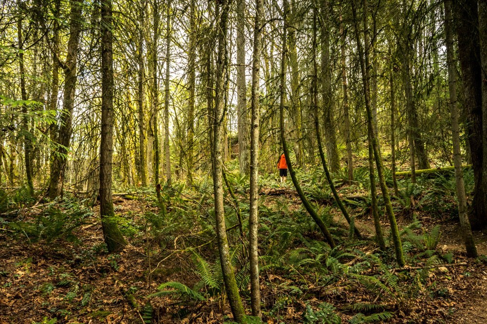
The eastern segment starts up from Coal Creek Parkway on the east shore of Lake Boren. After a short walk along sidewalks, the trail enters the woods and ascends up the slope of a ridge, eventually leaving the City of Newcastle and linking up with the DeLeo Wall Trail in King County's Cougar Mountain Regional Park. From here you have access to the entire Cougar Mountain trail network, or you can head back along these trails that are tucked between the homes and parks of Newcastle. 

Hike Description Written by
Charlie Wakenshaw, WTA Staff

CrossTown Trail - Newcastle

Map & Directions

Trailhead
Co-ordinates: 47.5411, -122.1812 Open in Google Maps

Before You Go

See weather forecast

Parking Pass/Entry Fee

None

WTA Pro Tip: Save a copy of our directions before you leave! App-based driving directions aren't always accurate and data connections may be unreliable as you drive to the trailhead.

Getting There

driving directions

From I-405, take exit 9 for Lake Washington Boulevard Southeast. Head south on Lake Washington Boulevard Southeast for 0.9 miles.  This will turn into 112th Avenue Southeast. 112th will turn left and become Newcastle Way after 0.2 miles. Stay on Newcastle Way for 0.4 miles, then turn down 119th Place Southeast and park on the street.

take transit

This trailhead is accessible by bus! Plan your visit by bus using TOTAGO.

More Hike Details

Trailhead

Issaquah Alps > Cougar Mountain

City of Newcastle

You can improve or add to this guidebook entry!

CrossTown Trail - Newcastle

16 Trip Reports

Hiked here recently?

Submit a trip report!
 
Trip Reports