Trails for everyone, forever

Home Go Hiking Hiking Guide Crow Creek Snowshoe

Crow Creek Snowshoe

South Cascades > White Pass/Cowlitz River Valley
47.0162, -121.1411 Map & Directions
Length
8.5 miles, one-way
Elevation Gain
2,300 feet
Highest Point
4,500 feet
Calculated Difficulty About Calculated Difficulty
Hard
Photo by trip reporter Birdman. Full-size image
  • Dogs allowed on leash
  • Rivers

Parking Pass/Entry Fee

Sno-Parks Permit
Saved to My Backpack

A snowshoe route accessed from the Crow Creek Sno-Park. Continue reading

Rating
0.00 out of 5

(0 votes) Log in to rate

Hiking Crow Creek Snowshoe

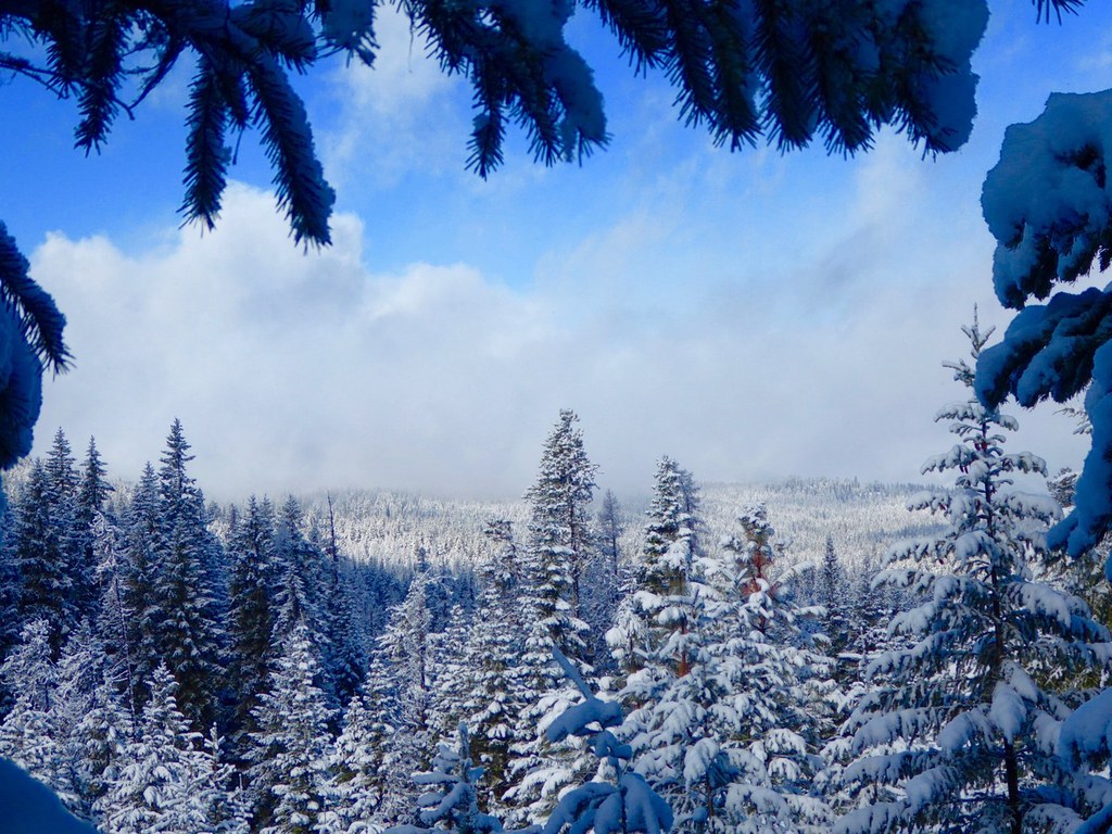
An intermediate to advanced snowshoe route accessed from the Crow Creek Sno-Park.

Crow Creek Snowshoe

Map & Directions

Trailhead
Co-ordinates: 47.0162, -121.1411 Open in Google Maps

Before You Go

See weather forecast

Parking Pass/Entry Fee

Sno-Parks Permit

WTA Pro Tip: Save a copy of our directions before you leave! App-based driving directions aren't always accurate and data connections may be unreliable as you drive to the trailhead.

Getting There


More Hike Details

Trailhead

South Cascades > White Pass/Cowlitz River Valley

Okanogan-Wenatchee National Forest, Naches Ranger District

You can improve or add to this guidebook entry!

Crow Creek Snowshoe

2 Trip Reports

Hiked here recently?

Submit a trip report!
 
Trip Reports