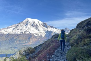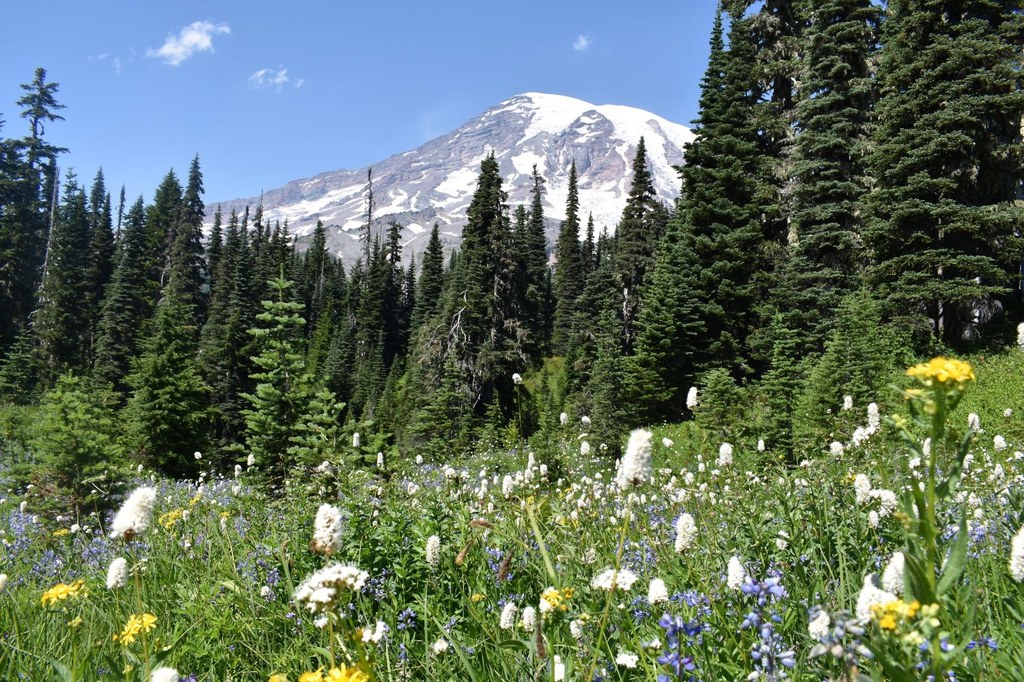

This trail offers a more intimate view of the Nisqually Glacier Valley, and connects to the Moraine Trail from the Paradise parking area.
Deadhorse Creek

-
 Length
- 3.25 miles, roundtrip
-
 Elevation Gain
- 800 feet
-
 Highest Point
- 5,820 feet
This trail offers a more intimate view of the Nisqually Glacier Valley, and connects to the Moraine Trail from the Paradise parking area.
Continue reading
Hiking Deadhorse Creek
Deadhorse Creek
Map & Directions
 Trailhead
Before You Go
Parking Pass/Entry Fee
National Park PassWTA Pro Tip: Save a copy of our directions before you leave! App-based driving directions aren't always accurate and data connections may be unreliable as you drive to the trailhead.