Trails for everyone, forever

Home Go Hiking Hiking Guide Deception Pass State Park - Upland Interpretive Trail

Deception Pass State Park - Upland Interpretive Trail

Puget Sound and Islands > Whidbey Island
48.3963, -122.6475 Map & Directions
Length
0.25 miles, roundtrip
Elevation Gain
27 feet
Highest Point
177 feet
Calculated Difficulty About Calculated Difficulty
Easy
Heading onto the trail. Photo by Jessica Wynne. Full-size image
  • Dogs allowed on leash
  • Good for kids
  • Wildlife

Parking Pass/Entry Fee

Discover Pass
Saved to My Backpack

This short loop is located above Cranberry Lake and introduces visitors to the coastal forest of Deception Pass State Park. Continue reading

Rating
0.00 out of 5

(0 votes) Log in to rate

Hiking Deception Pass State Park - Upland Interpretive Trail

Great for curious kids and adults, this quick interpretive loop will introduce you to the local coastal forest ecosystem through a series of numbered signs. 

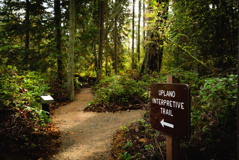
Begin at the information sign, where there is a map of the loop and additional history of Deception Pass. Continue past the sign for Upland Interpretive Trail and follow it straight for a clockwise loop. A box located before the first sign may have paper guides with information that corresponds with the numbered signs along the trail. Should it be empty, there's a digital version online. The trail is comprised of gravel and packed dirt and is even enough to handle a jogging stroller.

After a short ramble around this pocket of mossy forest, you will return to the sign where you began. To add distance, visitors can park at West Beach and hike the Cranberry Lake Trail up along the road, adding about a mile in each direction.

Toilet Information

  • No toilet at trailhead

More information about toilets

Wheelchair Accessibility

There are no accessible parking spots in the trailhead. The average grade is 0.4%.

Hike Description Written by
Jessica Wynne, WTA Correspondent

Deception Pass State Park - Upland Interpretive Trail

Map & Directions

Trailhead
Co-ordinates: 48.3963, -122.6475 Open in Google Maps

Before You Go

See weather forecast

Parking Pass/Entry Fee

Discover Pass

WTA Pro Tip: Save a copy of our directions before you leave! App-based driving directions aren't always accurate and data connections may be unreliable as you drive to the trailhead.

Getting There

From Mount Vernon, take Highway 20 west for 11.6 miles. At the traffic circle, take the second exit to stay on Highway 20. Follow for 0.7 miles to another traffic circle, taking the second exit to remain on Highway 20. Follow for 6.4 miles, passing over the Deception Pass bridge on your way. At the intersection, turn right into Deception Pass State Park. Follow for 0.5 miles, passing through the ranger kiosk, then turn left into the small parking area.

The gravel parking lot can accommodate 4 vehicles. 

More Hike Details

Trailhead

Puget Sound and Islands > Whidbey Island

Upland Interpretive Trail (#14)

Washington State Parks

Guidebooks & Maps

https://www.parks.wa.gov/DocumentCenter/View/852/Deception-Pass-State-Park-PDF?bidId=

You can improve or add to this guidebook entry!

Deception Pass State Park - Upland Interpretive Trail

2 Trip Reports

Hiked here recently?

Submit a trip report!
 
Trip Reports