Trails for everyone, forever

Home Go Hiking Hiking Guide Dumas Bay Sanctuary

Dumas Bay Sanctuary

Puget Sound and Islands > Seattle-Tacoma Area
47.3248, -122.3883 Map & Directions
Length
0.4 miles of trails
Elevation Gain
50 feet
Highest Point
80 feet
The bay on a foggy day. Photo by wakkf00. Full-size image
  • Coast
  • Fall foliage
  • Good for kids
  • Wildlife

Parking Pass/Entry Fee

None
Saved to My Backpack

This small 20-acre park offers visitors access to the beach along Dumas Bay. Continue reading

Rating
0.00 out of 5

(0 votes) Log in to rate

Hiking Dumas Bay Sanctuary

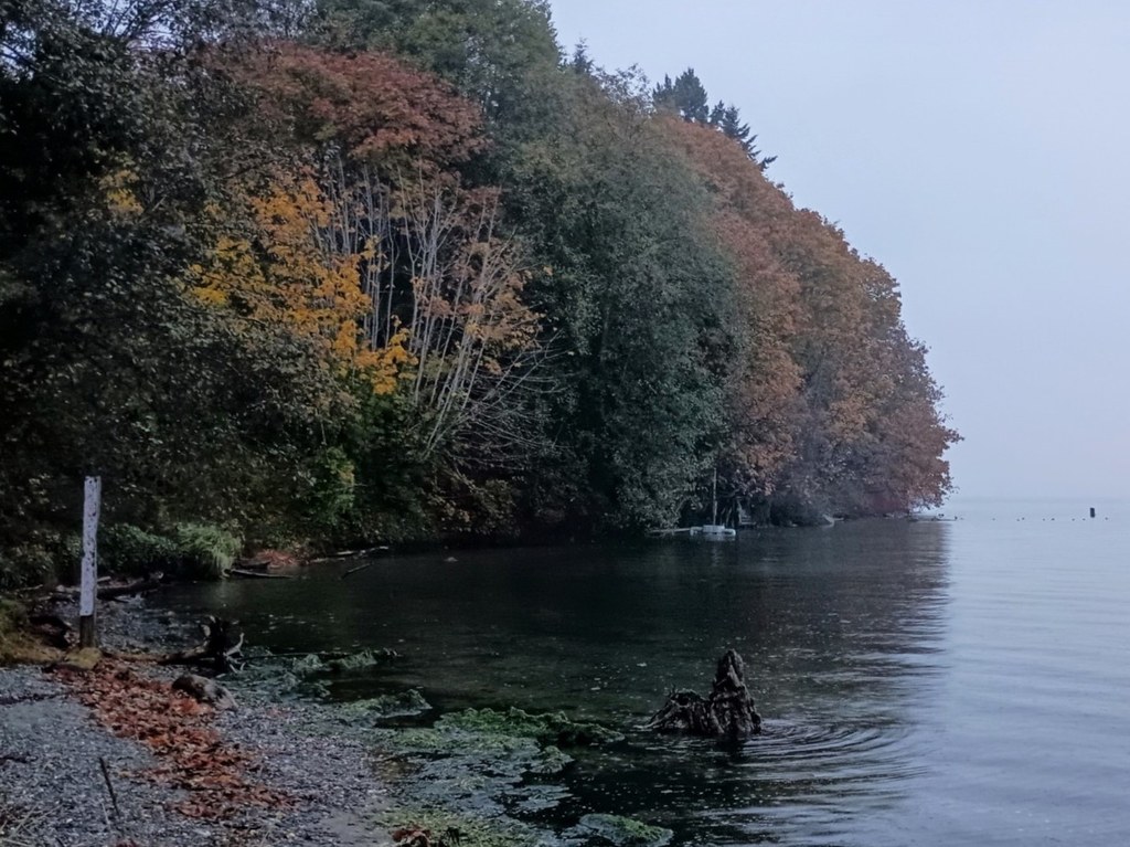
Situated just a mile or so away from the popular Dash Point State Park, Dumas Bay Sanctuary is sure to please marine birdwatchers and those itching for some beach air. 

Please note that dogs are not allowed on the beach. Observe boundary markers to avoid trespassing on private beaches. 

Dumas Bay Sanctuary

Map & Directions

Trailhead
Co-ordinates: 47.3248, -122.3883 Open in Google Maps

Before You Go

See weather forecast

Parking Pass/Entry Fee

None

WTA Pro Tip: Save a copy of our directions before you leave! App-based driving directions aren't always accurate and data connections may be unreliable as you drive to the trailhead.

Getting There

From Seattle, head south on I-5. Take exit 143 and take a right onto S 320th St. In 4.5 miles, take a right at the end of the road onto 47th Ave SW. In 0.4 mile, take the first exit at the roundabout. Take a left immediately onto 44th Ave SW. The parking lot is signed and will soon be on your right. 

The park is open from dawn to dusk year-round.

More Hike Details

Trailhead

Puget Sound and Islands > Seattle-Tacoma Area

City of Federal Way

Guidebooks & Maps

https://itallhappenshere.org/wp-content/uploads/2022/05/ParksTrailAndParkMap_2018_horizontal_sm.pdf

You can improve or add to this guidebook entry!

Dumas Bay Sanctuary

4 Trip Reports

Hiked here recently?

Submit a trip report!
 
Loading trip reports...
Trip Reports