Trails for everyone, forever

Home Go Hiking Hiking Guide Duwamish Hill Preserve

Duwamish Hill Preserve

Puget Sound and Islands > Seattle-Tacoma Area
47.5012, -122.2855 Map & Directions
Length
0.75 miles of trails
Elevation Gain
94 feet
Highest Point
143 feet
Steps at Duwamish Hill Preserve. Photo by austineats. Full-size image

Parking Pass/Entry Fee

None
Saved to My Backpack

Bleakly urban, curiously varied; this are is dramatically unique despite its diminutive stature. Select from two short walks -- a short hill climb or a wander through river bottom with interpretive signs. Continue reading

Rating
1.00 out of 5

Hiking Duwamish Hill Preserve

Bleakly urban, curiously varied; this trail is dramatically unique despite its diminutive stature. Two short walks, side by side depart from this trailhead. One ascends 94 feet among a unique landscape of rounded, bald rock outcrops, and Madrona trees with their sublimely smooth and colorful skin.

The second is clearly former river bottom and native planting with much information on local Duwamish culture.

This small eight and one half acre parcel was somehow forgotten in the crushing development of Tukwila and the Duwamish River bottom. Before venturing out on this hike do yourself a favor and look at a map, focusing on the topography.

Think about how the Duwamish, originally fed by the Green, White, and Black Rivers, is now solely fed by the Green River. Look at what was once wetland and river floodplain and note how this little hill sits right at a bend in the Duwamish. For extra credit, figure out why the Black River is no longer the outlet for Lake Washington.

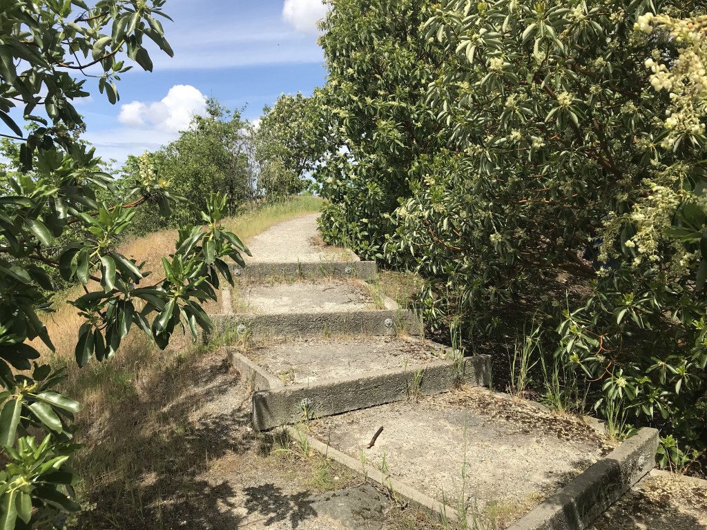
The hill of this hike is a dome of bedrock which somehow escaped the destruction of the ice age. The plants here including paintbrush, yellow cedar, and Madrona trees. Much of the hill is accessible on a paved wheelchair ramp. Many benches have been installed to take in the views of Mount Rainier and the hustle and bustle of Tukwila.

The trail on the river bottom is a relatively new garden of native plants. Hardscaping has created some small wetlands. Informative signs make for a well-rounded outing.

Hike Description Written by
Austin Smith, WTA Correspondent

Duwamish Hill Preserve

Map & Directions

Trailhead
Co-ordinates: 47.5012, -122.2855 Open in Google Maps

Before You Go

See weather forecast

Parking Pass/Entry Fee

None

WTA Pro Tip: Save a copy of our directions before you leave! App-based driving directions aren't always accurate and data connections may be unreliable as you drive to the trailhead.

Getting There

driving directions

Traveling south from Seattle on I-5 get off at exit #158, the Boeing Access Road. Turn right at the end of the exit. At the first traffic light turn hard-left onto East Marginal Way. Travel less than a mile and turn left onto South 115th St. If you cross the Duwamish you’ve gone too far. Less than one quarter mile on the left is the trailhead.

take transit

Take the bus to the trailhead! Plan your trip by bus using TOTAGO.

More Hike Details

Trailhead

Puget Sound and Islands > Seattle-Tacoma Area

Forterra

Guidebooks & Maps

https://forterra.org/wp-content/uploads/2017/03/FINPreserveMapOUTLINE.pdf

You can improve or add to this guidebook entry!

Duwamish Hill Preserve

3 Trip Reports

Hiked here recently?

Submit a trip report!
 
Trip Reports