

The northern part of the Duwamish Trail starts in the shadow of the West Seattle Bridge and heads southeast. The first 0.5 miles of the trail runs along the western side of W Marginal Way SW in a protected bike lane accompanied by a sidewalk with curb cutouts.
At that point the trail crosses the busy W Marginal Way SW at a traffic signal with a pedestrian crossing request button to run parallel to railroad tracks on the east side of the street. It should be noted that you will have to cross over the railroad tracks.
Continuing to the southeast for just under 0.2 miles you will reach the first of 2 small parks that provide Duwamish River views. The Herring’s House Park provides roughly 0.25 miles of paved and unpaved trails. The paved trails can be quite bumpy due to frost heaves and tree roots, but you will get views of the Duwamish River and may even see small industrial shipping traffic. Oceanspray line the paths and a tended garden with Sweet Pea and Oregon Grape await you at the end of one of the trails.
Back on the main trail you’ll soon come to the həʔapus Village Park and Shoreline Habitat, the second park off the Duwamish Trail. This park is the former site of one of the Duwamish Tribe’s larger villages. Wander the well-manicured grounds on pea-gravel trails and you’ll encounter public art and interpretative signage, picnic tables, and of course river views. And don’t miss The Paragon, a 5/8 scale reproduction of a North Pacific halibut schooner near the entrance of the park.
Herring’s House Park has parking for 10 cars while həʔapus Village Park has parking for 20. Neither park has restroom facilities. Both would make a fine jumping off point for your exploration of the Duwamish trail.
One tenth of a mile from the həʔapus Village Park and Shoreline Habitat parking lot, the main Duwamish Trail veers east into a wooded area. The trail continues for a quarter mile in this wooded setting affording river views mere yards away from the hustle of W Mariginal Way SW.
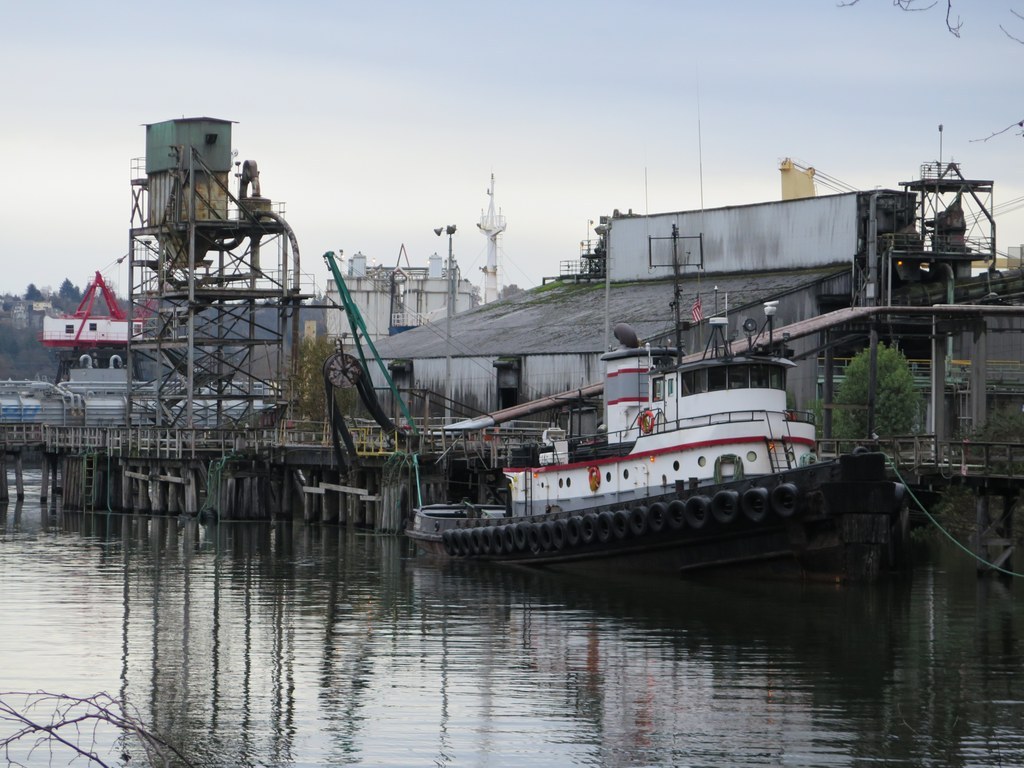
The trail will exit the wooded area and head back to parallel the road. At this point the sights for the urban hiker are mainly over, but should you wish to continue you certainly can do so. You will cross over the train tracks one last time and continue your journey south. The trail is paved and wide enough to accommodate bike and pedestrian traffic. You’ll pass by several marine transportation company shipping yards, so beware of trucks entering and leaving driveways that cross the trail.
The trail continues for 1.75 miles and is well-signed. After that the trail stretches on still, but loses its protected lane and merges into traffic.
Extending your Hike
Add on some mileage by venturing down the Alki Trail, northwest of the Duwamish Trail, or heading onto the Green River and Interurban Trails south of the city. The particularly intrepid can follow the sidewalks up to the Downtown Seattle Waterfront.
 Trailhead


