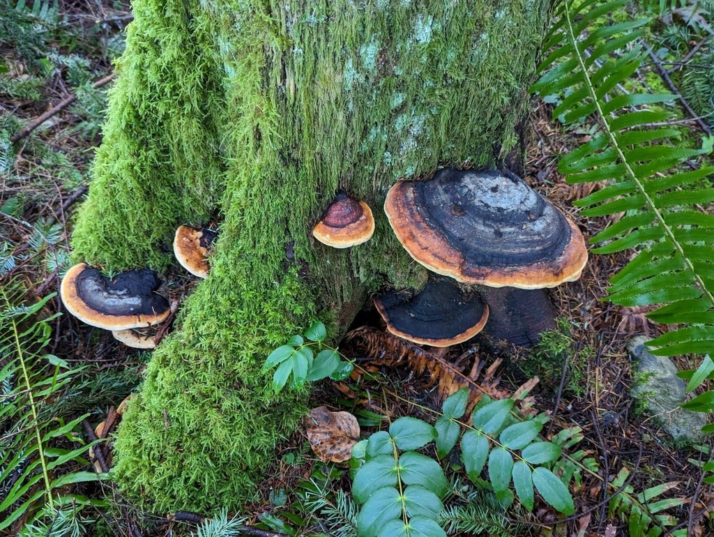

Detour off the Lingering Trail and amble through forest to junctions with the Preston Trail or the Bootleg Trail.
Dwight's Way

-
 Length
- 0.8 miles, one-way
-
 Elevation Gain
- 190 feet
-
 Highest Point
- 1,250 feet
Parking Pass/Entry Fee
Discover Pass
Detour off the Lingering Trail and amble through forest to junctions with the Preston Trail or the Bootleg Trail.
Continue reading
Hiking Dwight's Way

WTA worked here in 2019!
Dwight's Way
Map & Directions
 Trailhead
Before You Go
Parking Pass/Entry Fee
Discover PassWTA Pro Tip: Save a copy of our directions before you leave! App-based driving directions aren't always accurate and data connections may be unreliable as you drive to the trailhead.


