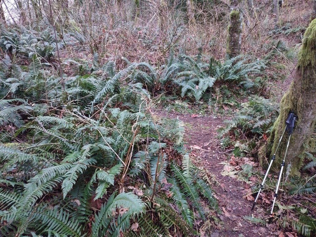

A 1.5 mile connector trail winding up the East Ridge of Squak Mountain. Accesses the Summit Trail and the East Side Trail. Take the Sycamore Access Trail (0.2 miles) to access the East Side Trail.
East Ridge Trail

-
 Length
- 1.5 miles, roundtrip
-
 Elevation Gain
- 1,179 feet
-
 Highest Point
- 1,582 feet
A 1.5 mile connector trail winding up the East Ridge of Squak Mountain. Accesses the Summit Trail and the East Side Trail.
Continue reading
Hiking East Ridge Trail

WTA worked here in 2025, 2012, 2009, 2004 and 2003!
East Ridge Trail
Map & Directions
 Trailhead
Before You Go
Parking Pass/Entry Fee
Discover PassWTA Pro Tip: Save a copy of our directions before you leave! App-based driving directions aren't always accurate and data connections may be unreliable as you drive to the trailhead.


