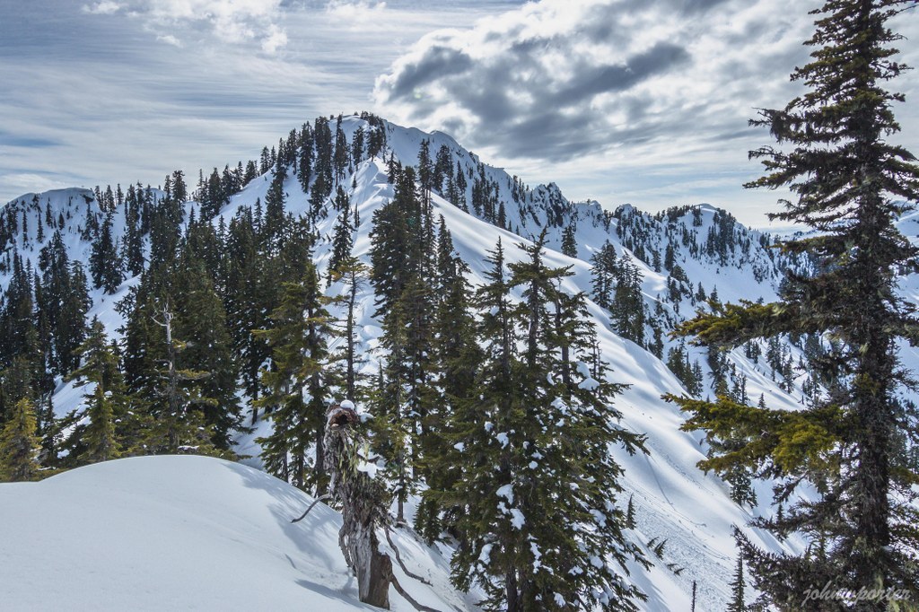

A summit scramble in the Central Cascades. Gear and expertise required.
Easter Peak

-
 Length
- 11.66 miles, roundtrip
-
 Highest Point
- 5,326 feet
A summit scramble in the Central Cascades. Gear and expertise required.
Continue reading
Hiking Easter Peak
Easter Peak
Map & Directions
 Trailhead


