
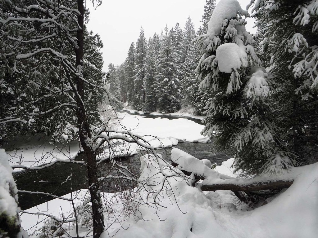

The Eightmile Creek Snowshoe is a snowy road walk during the winter. This busy summer road becomes a beautiful backdrop for a winter walk. Turn around at either the Eightmile Lake Trailhead or carry on a little farther to the Stuart Lake trailhead. Be aware of avalanche conditions along the road before heading here for a snowshoe outing.
Winter road conditions will determine how far you’re able to drive up Icicle Road, so you may have to add a few extra miles of road walking to reach the Eightmile Creek Trailhead. In any case, this route follows Eightmile Creek Road for about 3.5 miles to the trailhead then back. The road provides a walk through a scenic corridor in the winter.
 Trailhead


