
An off-trail scramble to a summit above Eightmile Lake.
Eightmile Mountain

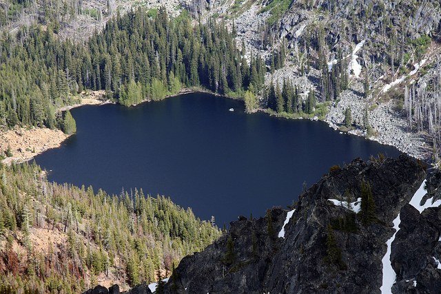
An off-trail scramble to a summit above Eightmile Lake.
Continue reading
Hiking Eightmile Mountain
Eightmile Mountain
Map & Directions
 Trailhead
Before You Go
Parking is only allowed on the right side of FR 7601 between Eightmile Lake and the Stuart/Colchuck Lake trailhead.
Dispersed camping is not allowed between FR 7601 and Icicle Creek.
WTA Pro Tip: Save a copy of our directions before you leave! App-based driving directions aren't always accurate and data connections may be unreliable as you drive to the trailhead.


