
When you envision a "ghost town” you may think of a town that sits empty — one filled with homes and buildings long ago occupied, now abandoned. But in the Fairfax Ghost Town, few structures remain. A meadow filled with grasses, old apple trees, ferns, wild roses, orchids, trilliums and lilies are her, but no structures are visible at first glance.
Because it's so overgrown, it can be difficult to navigate, so this hike should be considered an adventure of exploration and discovery. During the summer months, the vegetation thickens and short pillars and artifacts may pose hard to find. Year-round, you'll want to watch your step; fresh piles of bear scat can be found throughout the meadow.
The trail starts between two of the boulders near the parking area, but is quite overgrown. The route follows the Carbon River Road on a dirt path, heading gently downhill as you dodge salmonberry bushes and devils club, and may be muddy in places, even in the summer. All along the way, look for sword fern, maple, buttercups and stinging nettles. Listen for birds as they sing and fly between the trees.
As the trail begins to bend to the left at a quarter-mile from the trailhead, it drops into the Fairfax Valley and becomes more difficult to navigate, so take note of where you are. You will need to navigate back here to get back to the trail head.
A combination of wandering paths can be found through the tall grasses as well as animal trails. Since there is no defined trail through the valley, having a GPS and map is highly recommended.
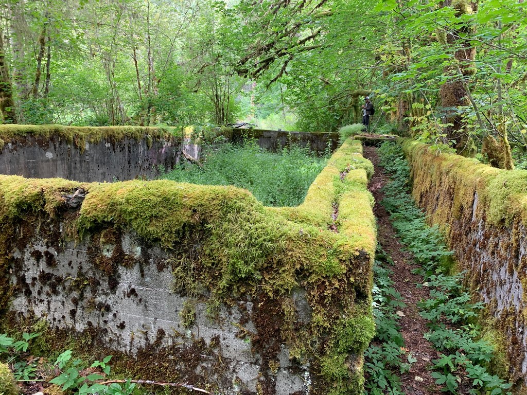
From the most-defined trail, enter the meadow and keep moving straight ahead, as far as the path will let you. The swimming pool with moss-covered steps can be found to your left in the trees. Around the pool, several short pillars can be found, about shoulder high, covered in moss. These pillars once belonged to the school.
As you explore the area, look for the coke ovens, railroad turntable center post and the remains of an old bridge along the Carbon River. When you're done, head back the way you came.
NOTE: Wandering the area, you may see old artifacts such as rusty cans, old ceramic, glass and metal. Remember to leave what you find so areas like this can remain open for public exploration. Also please do not destroy, damage or deface any buildings or structures or remove anything from the site. Respect any "No Trespassing" signs.
History
Fairfax was established in 1892 by W.E. Williams when the Northern Pacific Railway extended from Carbonado to Fairfax. The town had a population of 500, and a lumber mill (the Manley Moor Lumber Company), employed over 200 men.
Early in the 1900s, coking ovens produced more than 250,000 tons of coal per month. The only access to Fairfax was by rail or horse until 1921 when the road was extended over the Carbon River by Pierce County. In 1941, oil and gasoline became more prevalent and the homes were abandoned. By 1943, the post office had closed. Fires and floods took their toll and now all that remains are some pillars from some of the mine buildings and the coke ovens, remains of railroad turntable and a swimming pool which at one time sat inside the town school.
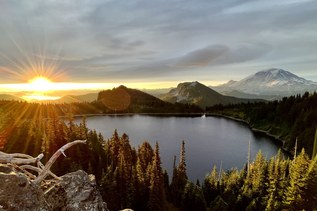
 Trailhead