

Seek solitude and stupendous views at this high alpine lake in the Entiat Mountains. A steep slog of a trail ensures you'll have plenty of room at this lake when you arrive.
Start your journey on the North Fork Entiat River Trail, hiking 6.1 miles and roughly 1,300 feet of elevation gain. Thankfully, only the first mile is through a burn zone. The rest of this river amble takes you through unburned and shaded forest, which is a very welcome respite from the heat that tends to settle in the valley during warm periods.
Once you reach the junction with Fern Lake, ford or rock-hop the Entiat River to continue your journey up towards Fern. An open campsite sites just on the west side of the river which serves as a great basecamp for those who wish to trek up towards Fern Lake with less weight on their back and less stress on their joints. Begin switch backing up the steep slope towards the lake. The first half of this climb is still in the shade, so rest assured you won't be sweating (yet). With the shade comes the potential for logs to climb over, which undoubtedly will be a part of your itinerary for the day.
After about the first mile of the climb, break out from the trees and prepare yourself for the last half mile, of which you'll climb roughly 900 feet of your climb. Think of it as a mini Aasgard Pass. Like the popular climb in the Enchantments, your thighs will be burning as you continue to ascend towards Fern Lake, but the views down valley of the North Fork Entiat River and across towards Pugh Ridge, Grouse Pass, and Pyramid Mountain make the burn worth it. You'll also be climbing under spectacular granite and granodiorite spires, so another added bonus to the otherwise arduous climb.
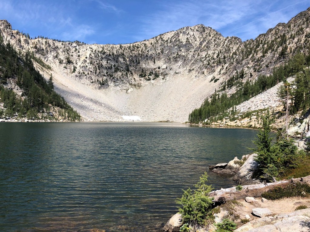
Before you know it, you'll be staring at Fern Lake and happy you put in the effort to get here. Nestled beneath unnamed granite peaks, this lake offers several splendid areas to hang around for the day or camp out for the night. Of note is the spectacular sandy beach on the west side of the lake, perfect for soaking tired feet and legs. The west side of the lake also offers to opportunity to scramble up towards a ridgeline for better views, although the views at the lake are still hard to beat.
 Trailhead


