
Flat Creek is a short day hike out of the Flat Creek Campground on the old Stehekin Valley Road. However, to get to the Stehekin road is a day or more trip, so you'll need to plan more than one day for this trip.
From its trailhead on the Upper Stehekin Valley Road, the Flat Creek Trail almost crosses a bridge over the mighty Stehekin River. The birdwatching from here is good, so if you brought your binoculars, look for dippers!
Once past the bridge, a sign points the way to Flat Creek Camp, re-built in 2009 and which now features two large, forested sites within earshot of the Stehekin River. Luckily though, you won't be within earshot of each other, so the camping is relaxing and quiet.
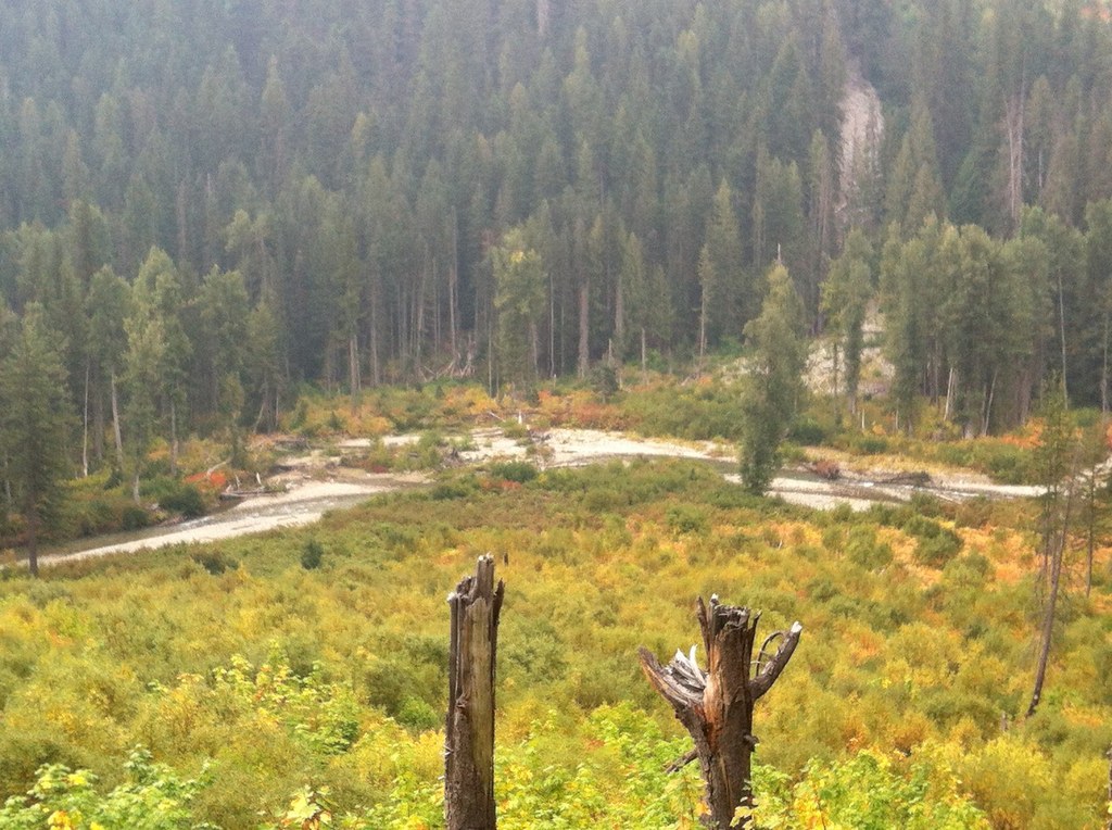
In 2001, the Flat Creek Fire raged through here, burning the first two miles of the trail. Now, fireweed gives the blackened trees a pop of beautiful color, and woodpeckers can be heard tapping high in the branches above. The trail ascends through the valley, offering occasional glimpses of Peak 6062, a mighty fin of tree-covered rock punching into the air above the verdant valley.
After the first 2 miles, views of the valley below recede into the brushy trail, and you leave North Cascades National Park. Soon, pass through some enormous old-growth western redcedar trees, and at 3.3 miles, the trail joins the West Fork Flat Creek. The trail continues on the other side of the creek, but no bridge spans this section. If the water is too high, enjoy the views from the this side of the creek -- it can be quite dangerous to cross when the water is strong.
Past the creek crossing, the trail becomes brushier and harder to navigate. It continues another mile into the forest, with limited views, before ending in another stand of western redcedar.
WTA Pro Tip: The best section of this trail is the first 3.3 miles, before the water crossing. While the true length of this trail is 4.2 miles, better to shorten it and enjoy a peaceful day hike with a round trip of 6.6 miles.
Flat Creek

-
 Length
- 11.0 miles, roundtrip
-
 Elevation Gain
- 500 feet
-
 Highest Point
- 2,000 feet
Parking Pass/Entry Fee
None
Flat Creek is a short day hike out of the Flat Creek Campground on the old Stehekin Valley Road. However, to get to the Stehekin road is a day or more trip, so you'll need to plan more than one day for this trip.
Continue reading
Hiking Flat Creek

WTA worked here in 2009!
Map & Directions
 Trailhead
Before You Go
Parking Pass/Entry Fee
NoneWTA Pro Tip: Save a copy of our directions before you leave! App-based driving directions aren't always accurate and data connections may be unreliable as you drive to the trailhead.
Getting There
Travel to the town of Chelan and find your way to the Lady of the Lake ferry terminal. Ticket prices for the ferry vary depending on which ferry you take and what season you visit; check them at ladyofthelake.com.
Once you're in Stehekin, make arrangements to get to High Bridge. The easiest way to do this is to take a bus. There are four shuttles each day. You can also rent bikes, though keep in mind it's a 14 mile-long ride to High Bridge.


