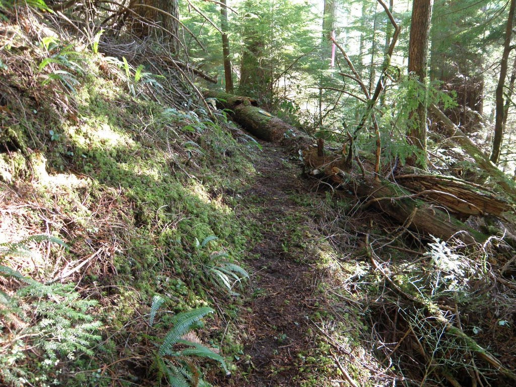

A primitive, difficult to navigate trail switchbacking downhill to the confluence of the forks of Canyon Creek, hence the name. Now situated behind the road closure on the Road 41 system, this trailhead is inaccessible by car.
Forks of Canyon Creek

-
 Length
- 3.8 miles, roundtrip
-
 Elevation Gain
- 1,400 feet
-
 Highest Point
- 2,400 feet
Tupso Pass Road is washed out 4.8 miles in and is permanently closed past Canyon Creek bridge (8 miles from the trailhead). Vehicles are prohibited past this point but foot and bike traffic is allowed.
A primitive, difficult to navigate trail switchbacking downhill to the confluence of the forks of Canyon Creek, hence the name. Now situated behind the road closure on the Road 41 system, this trailhead is inaccessible by car.
Continue reading
Hiking Forks of Canyon Creek
Forks of Canyon Creek
Map & Directions
 Trailhead
Before You Go
Tupso Pass Road is washed out 4.8 miles in and is permanently closed past Canyon Creek bridge (8 miles from the trailhead). Vehicles are prohibited past this point but foot and bike traffic is allowed.
WTA Pro Tip: Save a copy of our directions before you leave! App-based driving directions aren't always accurate and data connections may be unreliable as you drive to the trailhead.
Getting There
From the Verlot Public Service Center 11 miles east of Granite Falls, travel west on the Mountain Loop Highway 3.9 miles to FR 41. Note: As of 2016, the road is 8.5 miles from here. Past the closure, the rest of these directions must be hiked in order to access this trail.
Turn right (north) on the Tupso Pass Road 41 and continue for 12.5 miles to seldom-maintained FR 4140 on the left. The trail leaves the road shortly after turning off of FR 41 and is on the south side of the road.


