Trails for everyone, forever

Home Go Hiking Hiking Guide Fort Spokane
WTA is a nonprofit that needs you

We're just as excited as you to get the summer hiking season started. We're psyched our website, app and work for trails help you get outside.

But we're a nonprofit that runs on donations from regular people. If everyone who visited this site this holiday weekend donated $9/month, it would fully fund our work for the next 2 years. Time spent outdoors is priceless, but every donation large or small helps us support those experiences for everyone. Thank you and happy hiking!


Please take 2 minS to chip in $9

link

Fort Spokane

Eastern Washington > Spokane Area/Coeur d'Alene
47.9046, -118.3092 Map & Directions
Old stables at Fort Spokane. Photo by Holly Weiler. Full-size image
  • Mountain views
  • Lakes
Saved to My Backpack

Spend a little time on a short interpretive trail near Lake Roosevelt. Views are nice, and there's lots of history to learn about. Continue reading

Rating
0.00 out of 5

(0 votes) Log in to rate

Hiking Fort Spokane

Spend a little time on a short interpretive trail near Lake Roosevelt. Views are nice, and there's lots of history to learn about.

From the parking lot, locate a large kiosk featuring some interesting information on Lake Roosevelt access. Look for the big brick building beyond the kiosk and head towards that. It houses a visitors' center and the bathrooms.

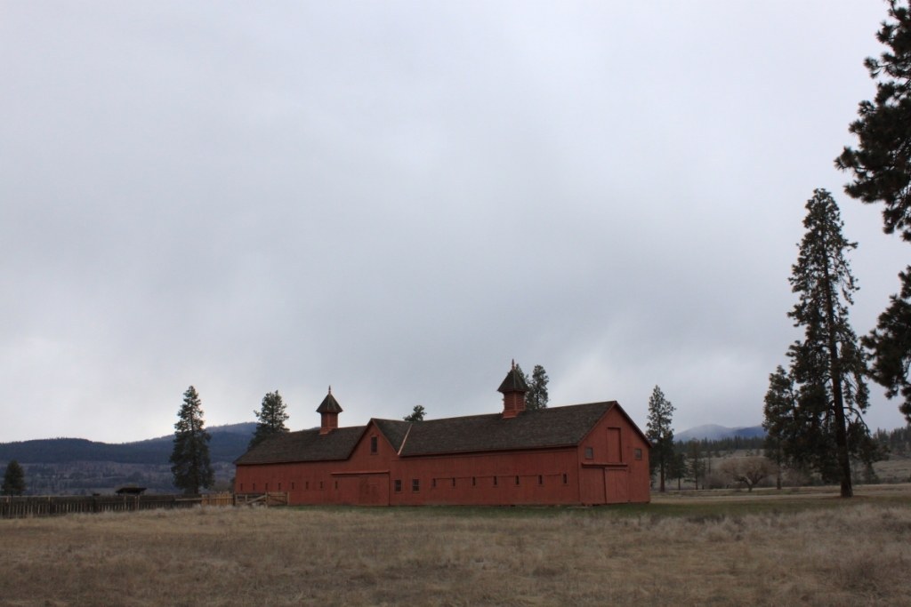
From the visitors' center, follow the lined path, taking your time to read the interpretive signs. The trail is all flat and the signage is interesting. The history is interesting, if from a depressing part of Washington's history. (It was an army fort, then a Bureau of Indian Affairs (BIA) boarding school, then a tuberculosis sanatorium). Most of the buildings are now gone, but a few remain.

Near the foundations of the Bachelor Officers' Quarters is a trail that leads to the beach, adding 0.8 miles to your outing. Another popular stop is the overlook on the Overlook trail, though it's not a great idea to visit if there is snow or ice present. The overlook trail is steep and narrow. In one place it is paved, but has an over 10% grade where it crosses a boulder field).

Fort Spokane

Map & Directions

Trailhead
Co-ordinates: 47.9046, -118.3092 Open in Google Maps

Before You Go

See weather forecast

WTA Pro Tip: Save a copy of our directions before you leave! App-based driving directions aren't always accurate and data connections may be unreliable as you drive to the trailhead.

Getting There


More Hike Details

Trailhead

Eastern Washington > Spokane Area/Coeur d'Alene

You can improve or add to this guidebook entry!

Fort Spokane

3 Trip Reports

Hiked here recently?

Submit a trip report!
 
Trip Reports