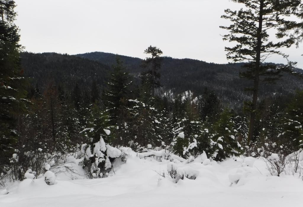

Located eleven miles east of Coeur d'Alene, Idaho at exit 28 off I-90, Fourth of July Pass Recreation area provides a fun place to play in the winter.
The Nordic trail system is groomed via snowmobile with tracks set along most of the trail system. The trails are great for classic skiing. Skate skiing would be possible, but the trail is fairly narrow. There's a separate snowshoe trail system, and everybody has access to the neat warming hut that's just a short distance up trail from the parking lot. In the winter, visitors do need the Park-N-Ski sticker, available online for either three days or as an annual pass. Note that Washington SnoPark permits are not accepted here.
Fourth of July Pass Recreation Area

Located eleven miles east of Coeur d'Alene, Idaho at exit 28 off I-90, Fourth of July Pass Recreation area provides a fun place to play in the winter.
Continue reading
Hiking Fourth of July Pass Recreation Area
Fourth of July Pass Recreation Area
Map & Directions
 Trailhead
Before You Go
WTA Pro Tip: Save a copy of our directions before you leave! App-based driving directions aren't always accurate and data connections may be unreliable as you drive to the trailhead.


