Trails for everyone, forever

Home Go Hiking Hiking Guide Franklin Ridge

Franklin Ridge

Southwest Washington > Columbia River Gorge - OR
45.5902, -122.0681 Map & Directions
Length
2.3 miles, one-way
Elevation Gain
1,147 feet
Highest Point
2,851 feet
Calculated Difficulty About Calculated Difficulty
Moderate
Flowers on Franklin Ridge. Photo by Anna Roth. Full-size image
  • Dogs allowed on leash
  • Mountain views
  • Ridges/passes
  • Wildflowers/Meadows
Saved to My Backpack

Franklin Ridge is a rugged route between the Oneonta Trail and the Larch Mountain Trail. It's rarely hiked, but it can create a fun, long loop connecting the Wahkeena Falls trailhead with the Oneonta Trailhead. Alternately, the Franklin Ridge trail can provide create a lollipop loop up to Larch Mountain. Continue reading

Rating
0.00 out of 5

(0 votes) Log in to rate

Hiking Franklin Ridge

This trail connects the Larch Mountain trail and the Oneonta Trail. It's infrequently hiked, so it's may be difficult to follow, depending on the maintenance it has seen recently.

From the Larch Mountain trail along the creek, the turnoff for Franklin Ridge is unmarked, 2.5 miles up from Multnomah Falls. Set off from the intersection heading east.

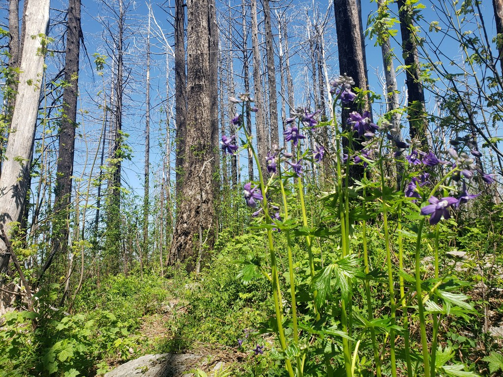
At first, the trail is relatively easy to follow, as it winds on a moderate grade towards the ridge itself. Even as it climbs up the ridgeline, the grade is not terribly steep. Yet. Eventually however, the grade does steepen, and the effects of the burn are more evident. Branches and trees litter the trail; this is not a trail to be on in high wind.

Views improve as the trail climbs, and eventually you can see Mount Adams and Mount St. Helens, as well as views up the Columbia River and into the Oneonta Creek drainage through the burned out trees.

In places, the trail is hard to follow, but never impossible. A navigation app can be useful here, especially since, counterintuitively, the trail descends to the west of the ridge before linking back up with the Oneonta Trail. 

Luckily though, the Oneonta Trail intersection is well signed. Take the trail to the left to follow the Oneonta Trail back to the river, or you can continue straight ahead, following the Oneonta Trail to the summit of Larch Mountain.

Toilet Information

  • No toilet at trailhead

More information about toilets

Hike Description Written by
Anna Roth, WTA Correspondent

Franklin Ridge

Map & Directions

Trailhead
Co-ordinates: 45.5902, -122.0681 Open in Google Maps

Before You Go

See weather forecast

WTA Pro Tip: Save a copy of our directions before you leave! App-based driving directions aren't always accurate and data connections may be unreliable as you drive to the trailhead.

Getting There

To access the Oneonta Trail, Travel east on Interstate 84 to Bridal Veil, Exit 28. Follow the off ramp to the intersection with the Historic Highway and turn left. Travel about 6 miles to the parking area, which is a small pullout on the south side of the highway. 

From the east, drive west on Interstate 84 to Ainsworth, Exit 35, and travel west on the Historic Highway about 1.5 miles to the parking area, which is a small pullout on the south side of the highway.

To access the Larch Mountain Trail, please see the requirements to point at Multnomah Falls.

More Hike Details

Trailhead

Southwest Washington > Columbia River Gorge - OR

Franklin Ridge (#427)

Columbia River Gorge National Scenic Area

You can improve or add to this guidebook entry!

Franklin Ridge

4 Trip Reports

Hiked here recently?

Submit a trip report!
 
Loading trip reports...
Trip Reports