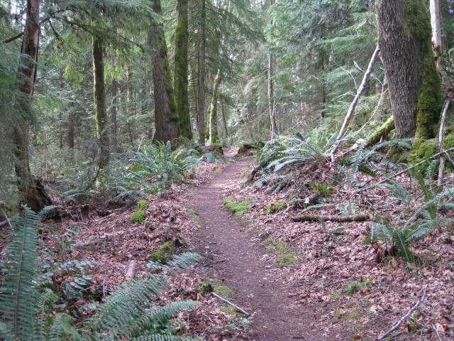

A connector trail off Clay Pit Road with access to Coal Creek Falls, as well as Shy Bear area, Wilderness Peak, and other areas of Cougar Mountain.
Fred's Railroad

-
 Length
- 0.6 miles, one-way
-
 Elevation Gain
- 86 feet
-
 Highest Point
- 1,332 feet
A trail off Clay Pit Road with access to Coal Creek Falls, as well as Shy Bear area, Wilderness Peak, and other areas.
Continue reading
Hiking Fred's Railroad
Fred's Railroad
Map & Directions
 Trailhead
Before You Go
Parking Pass/Entry Fee
NoneWTA Pro Tip: Save a copy of our directions before you leave! App-based driving directions aren't always accurate and data connections may be unreliable as you drive to the trailhead.
Getting There
Driving Directions
From I-90, take exit 13 for Lakemont Boulevard. Turn right (south) onto Lakemont Boulevard which eventually becomes Newcastle-Coal Creek Road. Turn left onto Cougar Mountain Way and proceed for about 0.5 mile before turning right onto 166th Way. Follow 166th Way for about 0.75 mile to a yellow gate and a large parking area to the right.


