

Godman Guard Station is one of several historic cabins within the Pomeroy Ranger District of the Umatilla National Forest available for rent year-round. Check availability and make reservations here. The cabin dates from 1933 and is a two-story structure with a kitchen, living room and two bedrooms. It sleeps a total of 8 guests (with 2 bunk beds and 4 single beds) and is pet-friendly. It has propane heat on a thermostat, propane lights and a propane cooking stove. An outhouse is located a short distance from the building. Guests must bring their own bedding, and it is recommended to bring a few cleaning supplies. Winter visitors should bring a snow shovel, as the cabin is rented infrequently and it may be necessary to excavate the entrance in order to access the cabin's door.
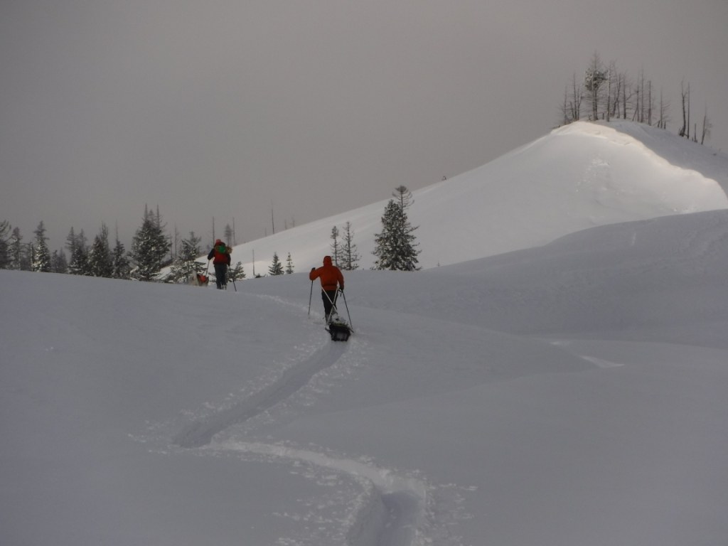
In the late spring through early fall, it is possible to drive a vehicle to the guard station. Several trails and trailheads are located nearby, including West Butte, which is within easy walking distance of the cabin. In the winter, access to the cabin requires an approximately 9-mile approach with over 1,400' elevation gain from the Touchet Corral Sno-Park near Bluewood Ski Area. The sno-park is a shared-use access point with a groomed snowmobile trail system. Nordic skiing, backcountry skiing and snowshoeing are all allowed with a sno-park permit; nonmotorized trail users should stay to the side of the trail system and listen for approaching snowmobiles. From the sno-park lot, the recommended approach is to follow the groomed snowmobile trail on FR700 to Kendall-Skyline Road. A more direct route is available via the Touchet Middle-Tie Trail (FR 3240) to Kendall-Skyline Road, although it is a very steep approach.
The historic cabin makes a cozy winter retreat with several good backcountry ski, Nordic ski and snowshoe options nearby. A snowmobile warming hut is also located adjacent to the Guard Station. Keep in mind that this is a busy spot during the day on weekends as many snowmobiles tour the groomed trail system and stop at the nearby warming hut.
 Trailhead


