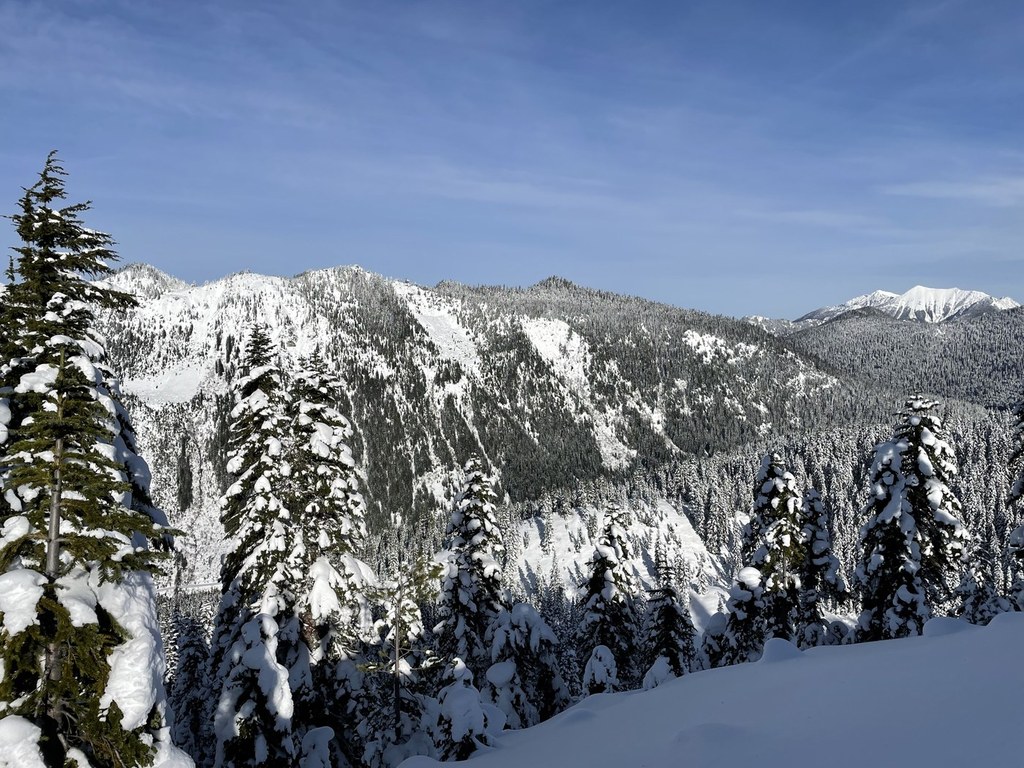

During the summer, this hike is an easy walk up a relatively steep service road on the west side of the mountain. It's short, Snowshoeing - The trail is a gradual uphill climb, mostly over a road, to a basin with Grace Lake.
Park in Stevens Pass Ski Area lot 4 and follow the groomed trail/road past the Mountaineer's cabin. Where the gooming ends, follow the trail to the right. The trail mostly follows a road, and the road is sometimes a Sno-Cat track to provide access for Highway 2 avalanche control.
Grace Lakes

-
 Length
- 4.0 miles, roundtrip
-
 Elevation Gain
- 500 feet
-
 Highest Point
- 4,700 feet
Take a short hike up to these lakes in the Stevens Pass Ski Area.
Continue reading
Hiking Grace Lakes
Grace Lakes
Map & Directions
 Trailhead
Before You Go
Parking Pass/Entry Fee
NoneWTA Pro Tip: Save a copy of our directions before you leave! App-based driving directions aren't always accurate and data connections may be unreliable as you drive to the trailhead.


