
After parking, there is a plowed spur road that makes for easy walking at first, in spite of young trees dotting the road. When you reach a grove of more mature trees, head west up the slope, enjoying views to the north and east along with some views of Persis and Proctor Ridge.
The road climbs for about 2.5 miles to an unmarked junction. Look to the right for an alder-choked road going in the general direction of Haystack. Struggle through the alder for about a quarter mile. Trying to go around it results in a far more difficult ascent. Break through the alder and find a forested area and a better roadbed. Turn right, following the road and then come to a junction. Take the left fork until it fades away, then proceed uphill to the summit.
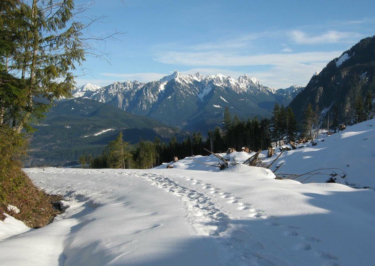
Views are beautiful and because of the alder you blasted through earlier, you're sure to be relatively alone on this hike.
Haystack Mountain
-
 Highest Point
- 2,715 feet
A hike to a summit just outside of Goldbar - the trail is very faded, so be prepared for bushwacking to a summit. Route finding experience strongly recommended.
Continue reading 
Hiking Haystack Mountain
Haystack Mountain
Map & Directions
Before You Go
WTA Pro Tip: Save a copy of our directions before you leave! App-based driving directions aren't always accurate and data connections may be unreliable as you drive to the trailhead.


