Trails for everyone, forever

Home Go Hiking Hiking Guide Heather Lake Snowshoe

Alert: On Oct. 1 the federal government began a partial shutdown that will impact National Parks, National Wildlife Refuges and U.S. Forest Service lands in Washington. Here's the latest information we have for hikers and campers


Heather Lake Snowshoe

North Cascades > Mountain Loop Highway
48.0829, -121.7740 Map & Directions
Length
4.6 miles, roundtrip
Elevation Gain
1,100 feet
Highest Point
2,440 feet
Calculated Difficulty About Calculated Difficulty
Moderate
Photo be terpene.
  • Good for kids
  • Lakes
  • Mountain views
  • Old growth
  • Waterfalls

Parking Pass/Entry Fee

Northwest Forest Pass
Saved to My Backpack
Rating
3.75 out of 5

(12 votes) Log in to rate

Hiking Heather Lake Snowshoe

Heather Lake Snowshoe

Map & Directions

Trailhead
Co-ordinates: 48.0829, -121.7740 Open in Google Maps

Before You Go

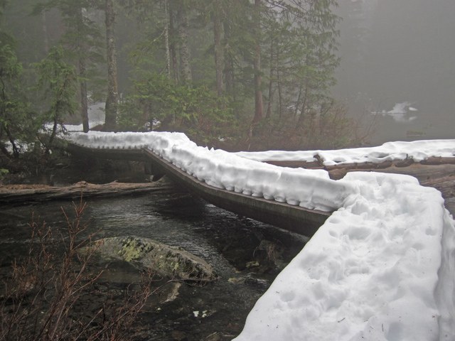
Avalanche danger is present on this trail in winter.

See weather forecast

Parking Pass/Entry Fee

Northwest Forest Pass

WTA Pro Tip: Save a copy of our directions before you leave! App-based driving directions aren't always accurate and data connections may be unreliable as you drive to the trailhead.

More Hike Details

Trailhead

North Cascades > Mountain Loop Highway

Heather Lake (#701)

Mt. Baker-Snoqualmie National Forest, Darrington Ranger District

Guidebooks & Maps

Green Trails: Granite Falls No. 109

You can improve or add to this guidebook entry!

Heather Lake Snowshoe

112 Trip Reports

Hiked here recently?

Submit a trip report!
 
Trip Reports