Trails for everyone, forever

Home Go Hiking Hiking Guide Hoag's Pond

Hoag's Pond

Puget Sound and Islands > Bellingham Area
48.7080, -122.4835 Map & Directions
Length
0.4 miles, roundtrip
Elevation Gain
70 feet
Highest Point
240 feet
Calculated Difficulty About Calculated Difficulty
Easy
The pond on a clear day. Photo by Ups n Downs. Full-size image
  • Good for kids
  • Lakes
  • Wildlife

Parking Pass/Entry Fee

None
Saved to My Backpack

This tiny forested pond near the Interurban Trail and Hundred Acre Wood in Bellingham features plenty of waterfowl and other wildlife. Continue reading

Rating
0.00 out of 5

(0 votes) Log in to rate

Hiking Hoag's Pond

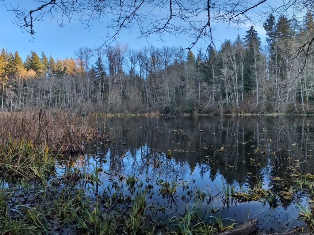
Take a short walk around this small pond, where you'll be able to find many species of bird and other wildlife to watch on a quiet day. 

Toilet Information

  • No toilet at trailhead

More information about toilets

Hoag's Pond

Map & Directions

Trailhead
Co-ordinates: 48.7080, -122.4835 Open in Google Maps

Before You Go

See weather forecast

Parking Pass/Entry Fee

None

WTA Pro Tip: Save a copy of our directions before you leave! App-based driving directions aren't always accurate and data connections may be unreliable as you drive to the trailhead.

Getting There

From downtown Bellingham, head south on I-5 and take exit 250. Turn right onto Old Fairhaven Pkwy. Continue for 0.5 mile, then turn left onto 24th St. In 0.5 mile, turn left onto Broad St. There is limited parking here. 

More Hike Details

Trailhead

Puget Sound and Islands > Bellingham Area

City of Bellingham

You can improve or add to this guidebook entry!

Hoag's Pond

3 Trip Reports

Hiked here recently?

Submit a trip report!
 
Loading trip reports...
Trip Reports