
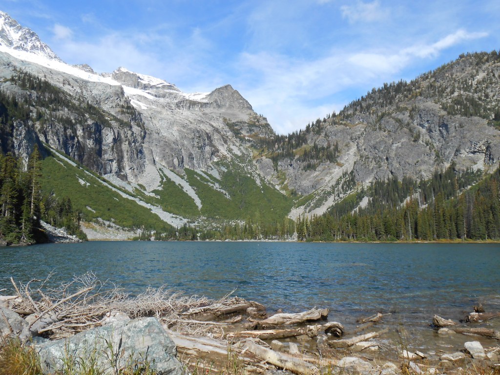

Holden Lake is set in a fantastic glacial basin, with stunning views of Bonanza, the highest non-volcanic peak in Washington State.
Beginning from Holden, hike out on the Hart and Lyman lake trail, which meanders along the the Railroad Creek valley. Stay on this trail for a mile, gently gaining elevation before arriving at the junction for the Holden Lake trail.
Turn right onto this trail. Now your route begins climbing with intent, on a dry, south-facing slope. The open pine forest provides little shade, and there are few water opportunities. Have what water you think you'll need, or bring a filter to gather some at the lake for the route back.
The trail sees some maintenance but due to it's remoteness and the fact that it traverses avalanche chutes, the way can be quite brushy. But keep at it, and after four miles of switchbacks and climbing, you'll finally arrive lakeside. No overnight camping is allowed on the within 200 feet of the lakeshore, but you can linger as long as you like here during the day, taking in the dramatic glaciers on Bonanza, the mountain looming over the lake to the west.

 Trailhead


