
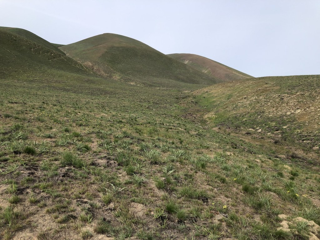

Hike a shrub steppe slope to a high vantage point along the crest of the Horse Heaven Hills plateau. The trail is typically dry and windy so make sure to bring plenty of water. The best time to hike is in April or early May when the slope is green and wildflowers are blooming.
From the trailhead a number of options exist. The right trail leads to a steep route that hikers can see going straight up the hillside. Avoid this unless you are training for a climb. Instead, take the trail to the left of it which follows a longer well-graded route to the top.
Follow the left-hand trail across the slope 0.7 miles to where it intersects an old road bed and take a right. 0.9 miles later the road bed switchbacks and then climbs 600 feet over the course of 1.1 miles to a road along the top of the ridge. Take a right and follow the rocky road 0.7 miles and gain another 230 feet to a high-point on the ridge with a large cairn.
Views around you include the Horse Heaven Hills, dropping to the south, Rattlesnake Mountain to the northwest, and the Tri-Cities toward Wallula Gap.
Return the way you came, or if your knees are up for it, take the steep trail in front of you which drops more than 1200 feet in less than a mile back to the parking lot visible below.
 Trailhead


