
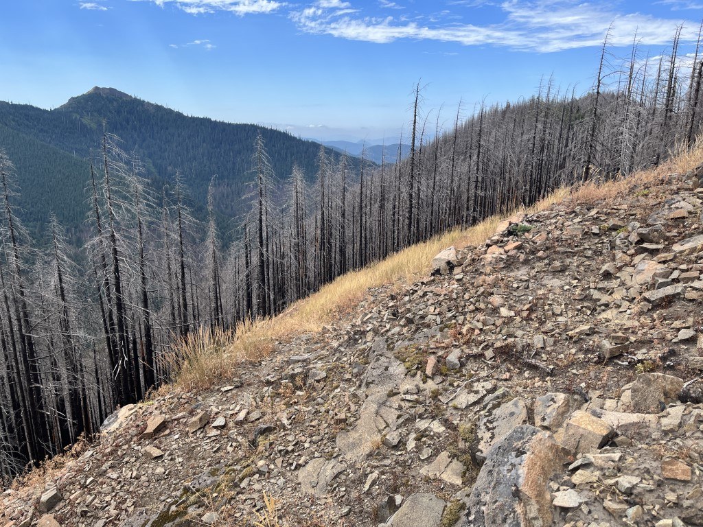

Horseshoe Ridge’s narrow tread on steep, rocky slopes has been heavily impacted by lack of maintenance and repeated wildfires over the last few years, making it a challenge to navigate in places and an obstacle course in others so plan for extra time to complete. Open views are rare along the parallel ridges above Horseshoe Creek and you are guaranteed a knee-breaking descent on either end. There are no reliable water sources on the trail so make sure you have enough before ascending from the Siouxon.
Leaving the Siouxon Creek trailhead at 1940 feet, it is 3.9 miles and a 725 feet loss in elevation to the junction and first leg of the Horseshoe Ridge Trail on the right. You are greeted by recent trail work to reclaim lost switchbacks but you are soon climbing roughly 1350 feet in .9 miles on what will feel like a degraded fisherman's route. Coming out onto the ridge at 2650 feet, this bouldered viewpoint makes a worthy place to rest before turning around if you have made it this far. West Point and Huffman Peak can be possible to spy here on a clear day and you will most likely have the sights all to yourself.
For the more adventurous, continue rambling up on the top of the hairpin ridge through overgrown meadow dotted with beargrass, blackened spines of second growth forest and a high point of just under 3400 feet. Intersecting about halfway with FR 5700-320 at 3110 feet, this is a popular spot for hunters, the only possible flat spot for a tent and if you time it right, perfect for gathering huckleberries. Turning onto the opposite ridge and running along the southeast slope, this forested second leg is relatively level before quickly dropping you back down to the Siouxon with a slightly less dramatic descent. You are now 3 miles from the junction with the beginning of the Horseshoe Ridge Trail.
A left hand turn and return trip of 6.9 miles back up to your car for a total of 18.1 await you. If you are inclined to do the Horseshoe Ridge Trail as an overnighter, campsites can be found on either end of the loop along the Siouxon. There was once a fire lookout where the first leg drops off the ridge down to the junction with the forest road and treed Peak 3409 sits above the trail on the second half for those looking for obscured points of interest.

 Trailhead


