

This 10.2 mile winter cross-country ski or snowshoe route follows unplowed summer roads and old logging roads to make a fairly substantial loop trip near Blewett Pass. Try it on skis, or snowshoes, just be sure to allow plenty of time.
Along the route, most of the junctions on the logging roads are marked with blue signs or a few blue diamonds, but the signs are infrequent, and unmarked side roads frequently branch off, so a good map and route description are essential. A few steep slopes near the top of the ridge have the potential for avalanches in some conditions.
Start your trip at the Iron Creek Sno-Park and ski up the flat valley on Iron Creek Road for 2 miles.
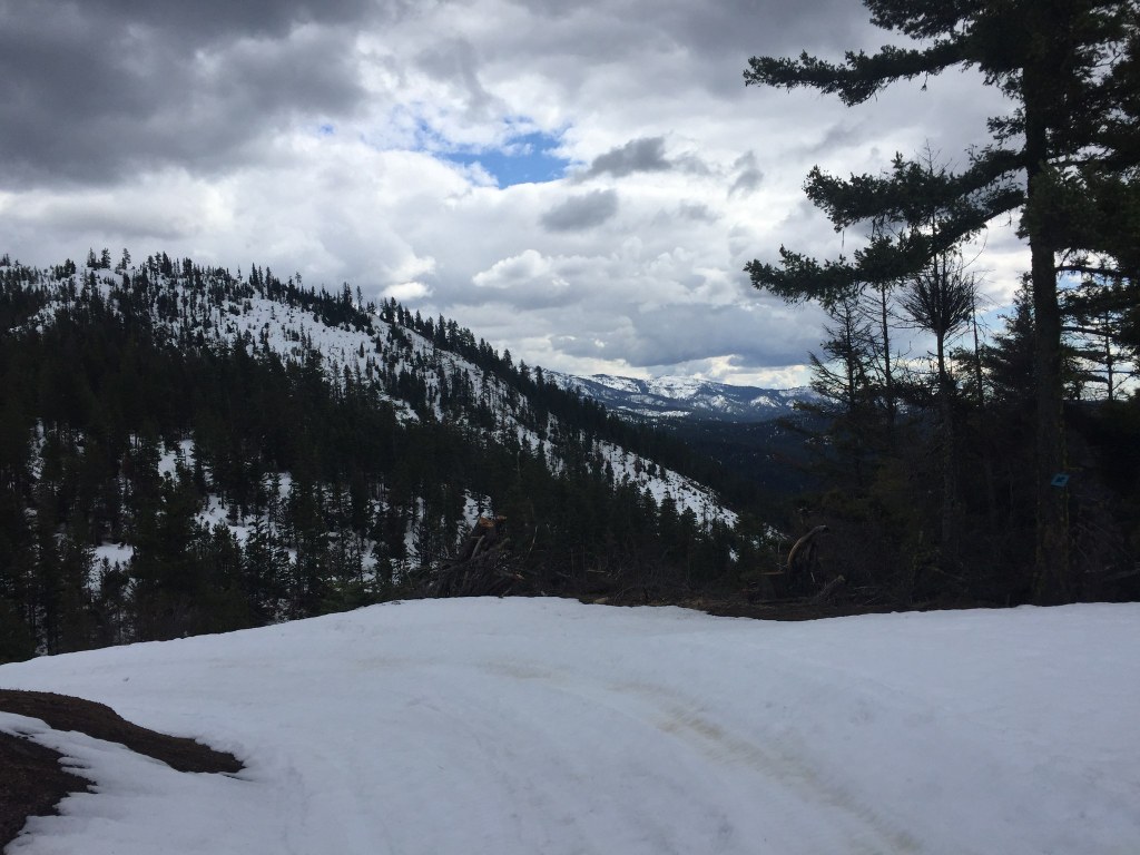
After the first 2 miles, look for a blue sign marking the turnoff on the right for spur road 113. This narrow logging road climbs steadily and fairly steeply for a further 2 miles up a side valley to a saddle on the ridge. Here, you'll enjoy expansive views of the lowlands to the southeast from the ridge before arriving at a saddle, a signed junction for the Blewett Pass Tie route.
This junction is a bit confusing, but Blewett Pass Tie is the right branch, which drops a little bit before contouring along the ridge for another mile to the Blewett Pass Highway. Here, turn right to head down to Highway 97. The old Blewett Pass Highway is not plowed in the winter, but is used by snowmobiles, so the snow is likely to be well-packed.
The steady, moderate road grade makes for a quick 4.5-mile glide down to the old Blewett Pass Highway Sno-Park on Highway 97, about 1.5 miles northeast of the Iron Creek Sno-Park.
To return to the Iron Creek Sno-Park, follow the blue diamonds marking the ski/snowshoe route at the upper end of the old Blewett Pass Highway Sno-Park. This route roughly parallels Highway 97, but meanders southwest through the forest to get around drainages and over ridges. While it is well-marked with blue diamonds, it's not an obvious trail and you may be route-finding if you are one of the first ones to visit.


