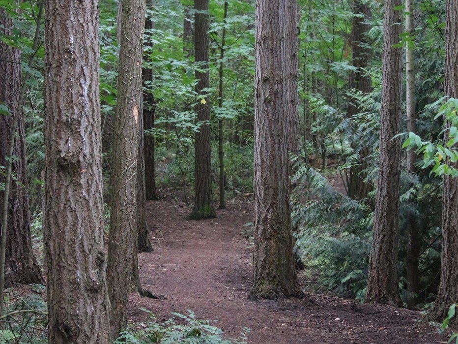

This gentle 2.2 mile trail winds its way through the native shrubs and old growth conifers that surround the Jackson Park Golf Course. Only a short section of the mostly flat gravel trail is wheelchair accessible, and there are two short, steep climbs along the way. The park and golf course became open to the public in 1928, but the official gravel trail that exists today was not built until 2013.
Jackson Park

-
 Length
- 2.2 miles of trails
This gentle 2.2 mile trail winds its way through the native shrubs and old growth conifers that surround the Jackson Park Golf Course. Only a short section of the mostly flat gravel trail is wheelchair accessible, and there are two short, steep climbs along the way.
Continue reading
Hiking Jackson Park

WTA worked here in 2018!
Jackson Park
Map & Directions
 Trailhead
Before You Go
WTA Pro Tip: Save a copy of our directions before you leave! App-based driving directions aren't always accurate and data connections may be unreliable as you drive to the trailhead.
Getting There
driving directions
Take Interstate 5 north to Exit 174 (Northeast 130th Street /Roosevelt Way), go left on Fifth Avenue Northeast, right onto Roosevelt Way Northeast and left onto Tenth Avenue Northeast to Northeast 135th Street. The approximate meeting location is at the intersection of 135th Street and 11th Avenue.
take transit
Take the bus to the trailhead! Plan your trip by bus using TOTAGO.


