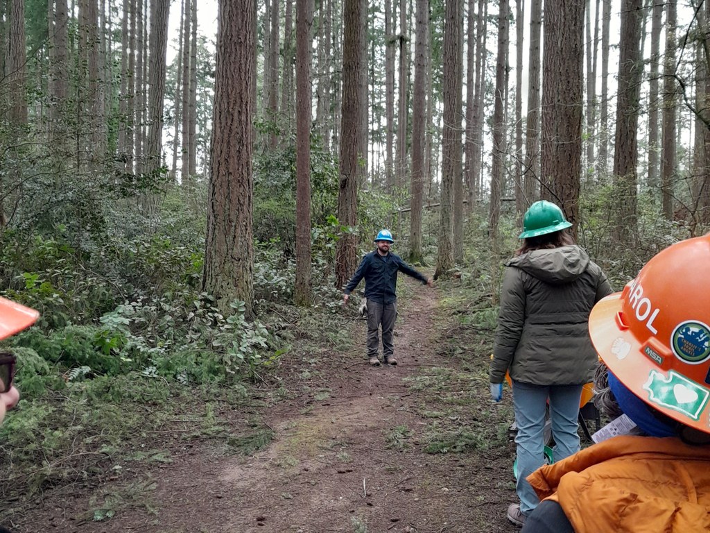

WTA has done maintenance at this small urban forested park, a small green space in the heart of the Inglewood-Finn Hill and Surfmere neighborhoods of Kirkland.
Juanita Woodlands Park

-
 Length
- 2.0 miles of trails
Juanita Woodlands is a small, 35-acre forested neighborhood park between Kirkland and Kenmore.
Continue reading
Hiking Juanita Woodlands Park

WTA worked here in 2025 and 2024!
Juanita Woodlands Park
Map & Directions
 Trailhead
Before You Go
WTA Pro Tip: Save a copy of our directions before you leave! App-based driving directions aren't always accurate and data connections may be unreliable as you drive to the trailhead.
Getting There
From Seattle, take exit 175 and turn right onto SR 523/NE 145th St towards Kenmore. In 1.4 miles, turn left onto SR 522/Bothell Way NE. In 3 miles, turn right onto 68th Ave NE. In 3.5 miles, turn right onto NE 123rd St. At the end of the road, shortly, turn left onto 76th Ave NE. In 0.2 mile, the trailhead will be on your left. There is only neighborhood street parking here.


