Trails for everyone, forever

Home Go Hiking Hiking Guide Klemgard Park

Klemgard Park

Eastern Washington > Palouse and Blue Mountains
46.7709, -117.3568 Map & Directions
Length
1.0 miles, roundtrip
Elevation Gain
260 feet
Highest Point
2,100 feet
Calculated Difficulty About Calculated Difficulty
Easy
A fall day at the park. Photo by Holly Weiler. Full-size image
  • Dogs allowed on leash
  • Fall foliage
  • Good for kids
  • Wildflowers/Meadows

Parking Pass/Entry Fee

None
Saved to My Backpack

This Whitman County Park is located a short distance west of US 195 and boasts a pretty developed park with a playground, plus a 0.75-mile singletrack loop hiking trail. Continue reading

Rating
0.00 out of 5

(0 votes) Log in to rate

Hiking Klemgard Park

Located south of Colfax and north of Pullman, Klemgard County Park is a great little park to enjoy a picnic lunch and stretch one's legs when in the vicinity. The main park area has wonderful shade trees, picnic tables, a picnic shelter and a playground.

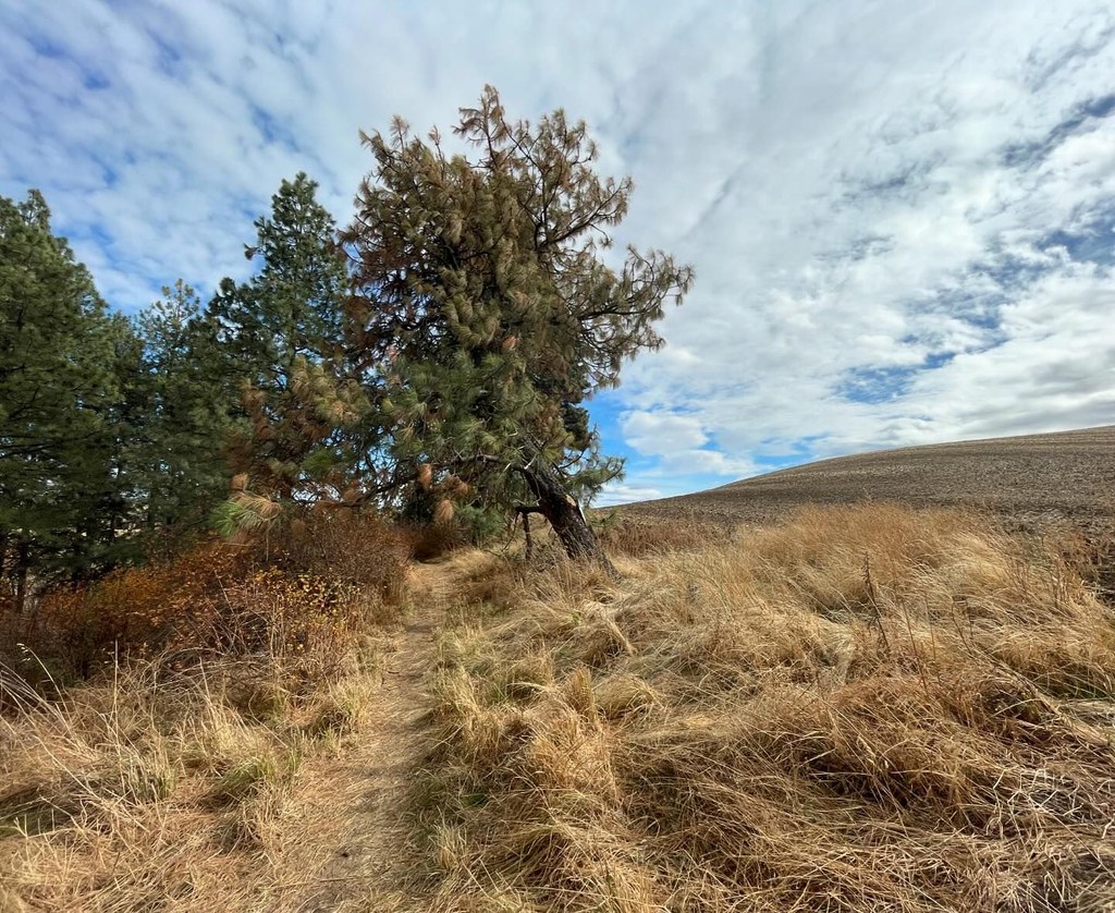
Cross the footbridge over Union Flat Creek and follow the short paved trail to get to the access point for the 0.75-mile loop hiking trail. The trail is a bit narrow in spots with encroaching vegetation and can be steep in some areas. For that reason, it should be considered moderate difficulty although it is very short. There are many trees and shrubs along the trail, but the views from the high point include glimpses of the surrounding farmland as well.

In the spring and summer, the trail has many wildflowers and flowering shrubs. It's also a great hike for fall colors. In the winter, it would probably be a good idea to have traction devices for icy/slippery areas, especially on the steeper portions of the trail. 

The main park is partially wheelchair accessible and has ADA parking spaces, plus ADA-accessible outhouses. The hiking trail is not ADA-accessible.

Toilet Information

  • Toilet at trailhead
  • Accessible toilet

More information about toilets

Wheelchair Accessibility

Two accessible CXT toilets are located in the main part of the park, and two additional outhouses are located just below the start of the hiking trail after crossing the footbridge over Union Flat Creek.

Hike Description Written by
Holly Weiler, WTA Correspondent

Klemgard Park

Map & Directions

Trailhead
Co-ordinates: 46.7709, -117.3568 Open in Google Maps

Before You Go

See weather forecast

Parking Pass/Entry Fee

None

WTA Pro Tip: Save a copy of our directions before you leave! App-based driving directions aren't always accurate and data connections may be unreliable as you drive to the trailhead.

Getting There

From US 195 south of Colfax/north of Pullman, turn southwest on Hamilton Hill Road. In 2.7 miles, turn north onto Upper Union Flat Road (gravel road). Continue 1 mile to Klemgard County Park, located on the left side of the road. 

More Hike Details

Trailhead

Eastern Washington > Palouse and Blue Mountains

Whitman County Parks

You can improve or add to this guidebook entry!

Klemgard Park

2 Trip Reports

Hiked here recently?

Submit a trip report!
 
Loading trip reports...
Trip Reports