Trails for everyone, forever

Home Go Hiking Hiking Guide Lake Sammamish State Park

Lake Sammamish State Park

Puget Sound and Islands > Seattle-Tacoma Area
47.5590, -122.0627 Map & Directions
Length
1.5 miles of trails
Photo by trip reporter kokay. Full-size image
  • Lakes
  • Fall foliage
  • Rivers

Parking Pass/Entry Fee

Discover Pass

A beach, forests, wetlands, and the potential to spot wildlife; Lake Sammamish State Park has it all. And people have been appreciating what the area has to offer for generations -- the land around the lake is culturally significant as a gathering place for several Native American tribes. Continue reading

Rating
2.00 out of 5

Hiking Lake Sammamish State Park

A beach, forests, wetlands, and the potential to spot wildlife; Lake Sammamish State Park has it all. And people have been appreciating what the area has to offer for generations -- the land around the lake is culturally significant as a gathering place for several Native American tribes.

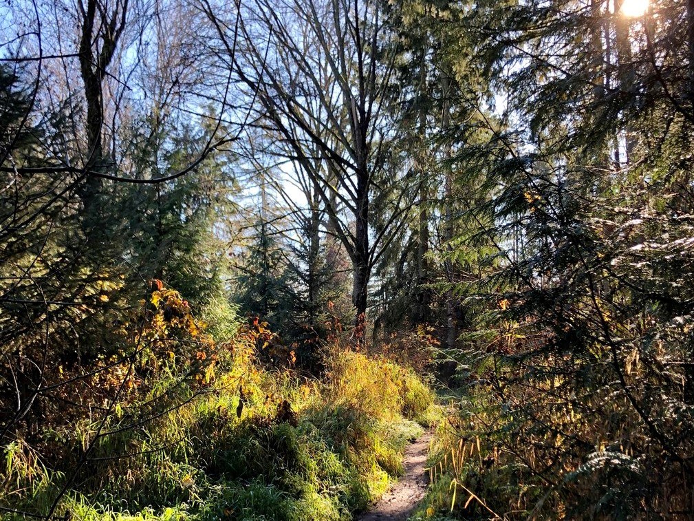
Find peace on the Homestead or Issaquah Creek trails, forested routes in the northeast corner of the park. This salmon-bearing creek can be an educating (if pungent) diversion in the fall when the salmon are spawning.

Or take a tour past the soccer fields on the Orchard Loop. Tibbetts Creek trail follows (yes) Tibbetts Creek for half a mile to Tibbetts Beach, and the Joggers Loop encircles the softball field near I-90. 

Because the park is close to the cities on Puget Sound, it's a good half-day destination for when you want to get out but don't quite have a full day. That also means you'll share the trail with plenty of other folks. 

If you and the family want to add another activity to your visit, you can bike, geocache, go birding, or even rent kayaks or paddleboards at Tibbetts Beach. If it's more hiking you're after, consider heading next door to Beaver Lake Preserve, where WTA volunteers have done some trail work in the past. 

Hike Description Written by
Multiple authors contributed to this report, WTA Community

Lake Sammamish State Park

Map & Directions

Trailhead
Co-ordinates: 47.5590, -122.0627 Open in Google Maps

Before You Go

See weather forecast

Parking Pass/Entry Fee

Discover Pass

WTA Pro Tip: Save a copy of our directions before you leave! App-based driving directions aren't always accurate and data connections may be unreliable as you drive to the trailhead.

Getting There

From I-90: Take exit 13 for W. Lake Sammamish Lakemont Bvd. S.E., S.E. Newport Way. Continue for about 0.2 mile, then take the left fork to W. Lake Sammamish Parkway S.E. and continue to merge onto 180th Ave SE/Lakemont Dlvd SE. After approximately a mile, take the first exit in the traffic circle onto W Lake Sammamish Pkwy SE. Continue for about 2.0 miles and Lake Sammamish State Park will be on the left.

More Hike Details

Trailhead

Puget Sound and Islands > Seattle-Tacoma Area

Washington State Parks

Guidebooks & Maps

https://parks.state.wa.us/DocumentCenter/View/860/Lake-Sammamish-State-Park-PDF?bidId=

Green Trails Cougar MTN/Squak MTN No. 203S

You can improve or add to this guidebook entry

Lake Sammamish State Park

26 Trip Reports

Hiked here recently?

Submit a trip report!
 
Trip Reports