

Start your hike at the gravel parking area just outside the Paradise Creek Campground on Wind River Road. Hikers are not allowed to park in the campground, so park your car just past the campground entrance and hike along the paved road into the campground, passing the host unit on the left, outhouses, and campsites. After about 0.4 miles, you will reach the start of the Lava Butte trail at the end of the campground next to unit 30-D.
The trail dips sharply downhill with impressively large tree stumps on either side before reaching the log crossing over the Wind River at about 0.5 miles. The narrow bridge is a little slippery, but stable. On the other side of the river look to the left into the trees to find the trail.
At about 0.6 miles, reach a second significantly smaller water crossing. This crossing is usually dry and rocky during the summer and is easy to ford earlier in the season.
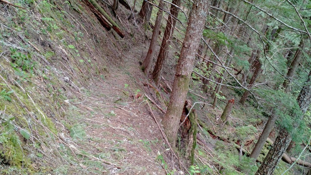
Continue along the trail as it climbs steadily up the side of Lava Butte, occasionally navigating around fallen trees. At about 1.1 miles, the trail gets significantly steeper for the final approach to the trail’s end. Turn right when the trail crests at the top and reaches an intersection. To the left is a small outcrop surrounded by trees and moss.
At 1.5 miles the trail intersects with an old, unkempt road bed with a sign on the right saying “Lava Butte Tr. No. 200”. This is not the true summit, but it is the end of the hike. The road continues up the butte to the viewless summit, but is not part of the maintained trail.
Just past the Lava Butte trail sign, enjoy a nice view to the north of the Oldman Pass area before taking the trail back down to the campground.
WTA Pro Tip: The Wind River crossing makes a great spot to stop for lunch and enjoy the water.

 Trailhead


