
Cougar Mountain Regional Wildland Park is the largest “urban wild land” in the United States, with more than 3,000 acres of forest riddled with 38 miles of hiking trails. The Licorice Fern Trail is a great choice for Cougar Mountain veterans looking for a fresh approach to Far Country Falls.
The trail begins directly from 169th Ave SE; look for a small hiker sign indicating the trailhead. Head into the trees on the wide gravel path, where the trail angles uphill, winding beneath mossy alders and through a thick understory of vine maple and fern. After 1 mile of hiking, the trail crosses SE Licorice Way before continuing to climb another 0.3 mile to the junction with the Indian Trail.
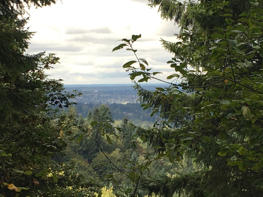
Head left at the junction for 0.5 mile to the Far Country Trail, then continue straight ahead to reach the Far Country Falls overlook. The small, multitiered cascade drops through a field of moss-covered boulders. You can add some mileage by hiking another 0.3 mile up the Far Country Trail, to the Far Country Lookout, for a peekaboo view of the surrounding suburban landscape.
Licorice Fern Trail

-
 Length
- 3.8 miles, roundtrip
-
 Elevation Gain
- 200 feet
-
 Highest Point
- 700 feet
Cougar Mountain Regional Wildland Park is the largest “urban wild land” in the United States, with more than 3,000 acres of forest riddled with 38 miles of hiking trails. The Licorice Fern Trail is a great choice for Cougar Mountain veterans looking for a fresh approach to Far Country Falls.
Continue reading
Hiking Licorice Fern Trail
Map & Directions
 Trailhead
Before You Go
Parking Pass/Entry Fee
NoneWTA Pro Tip: Save a copy of our directions before you leave! App-based driving directions aren't always accurate and data connections may be unreliable as you drive to the trailhead.
Getting There
From Seattle, take I-90 East to exit 15 and make a right onto 17th Ave, which later becomes Renton/Issaquah Road. Drive for about four miles, then turn right onto SE May Valley Rd. Shortly after, make a sharp right onto SE 112th St. This road soon becomes 169th Ave SE as it turns left. The trailhead will be on that curve, on your right hand side--look for the hiker sign. Park along 169th Ave.
From I-405, exit onto Coal Creek Pkwy. Head
south to May Valley Rd. Turn left and continue 2.3 miles,
merge onto SE 112th St, then turn left onto 169th Ave SE.
Note: As you enter the trail, you will see three potential routes: one paved on the left, one gravel straight ahead, and a grassy one on the right. Continue on the gravel trail, and you will soon find a second hiker sign.


