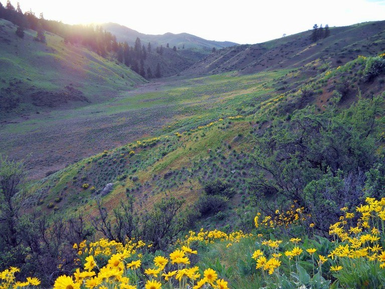

This trail littered with sagebrush and balsamroot trail is just across the road from the Lightning Creek campground in the Methow Valley. In late summer, fragrant flowers surround the area, intoxicating curious hikers.
Explore further to a hidden valley with birch trees. The campground is heavily used, but provides an excellent base camp for access to many other possible trails. There's no elevation gain, or much distance at all, but this area provides a nice option for those hikers who want to take it easy for a day or so.
Pipestone Ridge Lower Coulee

-
 Length
- 0.25 miles, roundtrip
-
 Elevation Gain
- 0 feet
-
 Highest Point
- 775 feet
A wildflower-dotted, easy trail near the Lightning Creek campground in the Methow.
Continue reading
Hiking Pipestone Ridge Lower Coulee
Pipestone Ridge Lower Coulee
Map & Directions
 Trailhead
Before You Go
Parking Pass/Entry Fee
Discover PassWTA Pro Tip: Save a copy of our directions before you leave! App-based driving directions aren't always accurate and data connections may be unreliable as you drive to the trailhead.


