Trails for everyone, forever

Home Go Hiking Hiking Guide Roosevelt Trail to Little Grass Mountain

Roosevelt Trail to Little Grass Mountain

Eastern Washington > Selkirk Range
48.7669, -117.0613 Map & Directions
Length
11.0 miles, (type not yet set)
Elevation Gain
2,400 feet
Highest Point
5,696 feet
Near Little Grass Mountain summit with The Idaho Selkirks in the distance. Full-size image
  • Mountain views
  • Old growth
  • Summits

Parking Pass/Entry Fee

None
Saved to My Backpack

A steep and infrequently maintained trail to the summit of Little Grass Mountain. Continue reading

Rating
5.00 out of 5

Hiking Roosevelt Trail to Little Grass Mountain

This trailhead is across the road from the parking area for The Roosevelt Grove of Ancient Cedars at Stagger Inn Day Use Area north of Nordman, Idaho. The hike begins in Washington but crosses into Idaho at about the 3-mile mark. The trail is well-maintained for approximately 3.5 miles then becomes a bit of an obstacle course with fallen trees and brush to negotiate. You'll have to pay attention at times and backtrack when necessary. 

Though some maps show a trail branching off to the left going directly up the ridge to the summit, no such trail exists. It also shows trail 266 abruptly ending on the south slope, but it in fact continues all the way to the saddle between Little Grass and Boulder Mountain. 

There are some very nice groves of old-growth cedar along the way and evidence of ancient fires with giant burned-out snags. Several water sources exist throughout the hike. 

The trail passes a junction to the south and continues north up to another spur east of the summit which goes to the top. If you arrive to an old road bed, you have gone too far. This is the eastern terminus of 266 and an old sign nailed to a tree marks the trail. Turn back and find the spur to the top which is well flagged. 

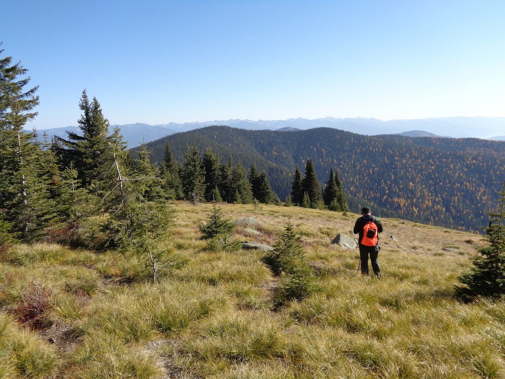
The summit spur is easy enough to follow but becomes vague near the top. From here it is feasible to walk open meadows to the old lookout site at 5696 feet.

Hike Description Written by
Multiple authors contributed to this report, WTA Community

Roosevelt Trail to Little Grass Mountain

Map & Directions

Trailhead
Co-ordinates: 48.7669, -117.0613 Open in Google Maps

Before You Go

See weather forecast

Parking Pass/Entry Fee

None

WTA Pro Tip: Save a copy of our directions before you leave! App-based driving directions aren't always accurate and data connections may be unreliable as you drive to the trailhead.

Getting There

From Nordman, Idaho, drive 14 miles north on FR 302 to Stagger Inn Day Use Area which is located over the border in Washington. You can also drive from Sullivan Lake to Pass Creek Pass and south to Stagger Inn. Note that Pass Creek Pass is closed in winter. 

More Hike Details

Trailhead

Eastern Washington > Selkirk Range

Roosevelt Trail (#266)

Panhandle National Forest, Priest Lake Ranger District

You can improve or add to this guidebook entry!

Roosevelt Trail to Little Grass Mountain

1 Trip Report

Hiked here recently?

Submit a trip report!
 
Trip Reports