Trails for everyone, forever

Home Go Hiking Hiking Guide Lost Beagle
link

Lost Beagle

Issaquah Alps > Cougar Mountain
47.5411, -122.0962 Map & Directions
Length
0.6 miles, one-way
Elevation Gain
250 feet
Highest Point
1,470 feet
Calculated Difficulty About Calculated Difficulty
Easy
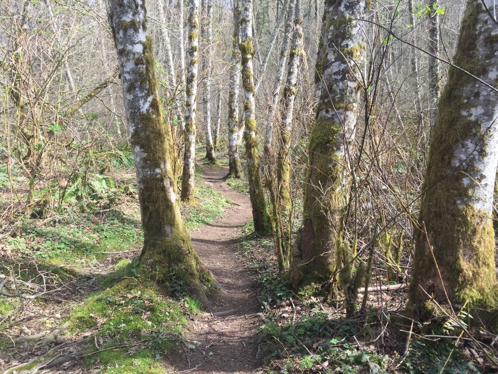
Along the Lost Beagle Trail. Photo by HikerMama5. Full-size image
  • Wildlife
  • Summits
  • Dogs allowed on leash
  • Fall foliage

Parking Pass/Entry Fee

None

The Lost Beagle Trail is a connector Trail on Cougar Mountain. It does not have its own trailhead so hikers must reach this trail on foot from one of the many connecting trails. Continue reading

Rating
2.25 out of 5

(4 votes) Log in to rate

Hiking Lost Beagle

The Lost Beagle Trail is a connector Trail on Cougar Mountain. It does not have its own trailhead so hikers must reach this trail on foot from one of the many connecting trails. At its western terminus this trail connects to the Klondike Swamp Trail. At its eastern terminus it connects to the Harvey Manning Trail.

From west to east the Lost Beagle Trail starts right on Coal Creek and climbs for about 2.5 miles. Here a short spur trail takes off to the left and completes the ascent to Anti Aircraft Peak. Back on the Lost Beagle Trail, continue straight for another 0.2 mile to trail’s end.

Hikers departing from either the Sky Country Trailhead or the Harvey Manning Trailhead have the option to form any number of loops incorporating the Lost Beagle Trail.

Hike Description Written by
Multiple authors contributed to this report, WTA Community

Lost Beagle

Map & Directions

Trailhead
Co-ordinates: 47.5411, -122.0962 Open in Google Maps

Before You Go

See weather forecast

Parking Pass/Entry Fee

None

WTA Pro Tip: Save a copy of our directions before you leave! App-based driving directions aren't always accurate and data connections may be unreliable as you drive to the trailhead.

Getting There

The Lost Beagle Trail can be reached from the Harvey Manning Trailhead:
From I-90, take Exit 13 and drive south on Lakemont Blvd SE for 2.5 miles. Turn left onto SE Cougar Mountain Way, and follow the double yellow line around to the left as it becomes 168th Pl SE and around to the right to as it becomes SE 60th St. Turn off of 60th Street uphill onto SE Cougar Mountain Drive, a dead end road. The road will change to gravel - at the end is the trailhead.

More Hike Details

Trailhead

Issaquah Alps > Cougar Mountain

Lost Beagle (#COUGAR-N6)

King County Parks

You can improve or add to this guidebook entry

Lost Beagle

75 Trip Reports

Hiked here recently?

Submit a trip report!
 
Trip Reports