Marten Creek Snowshoe

-
 Length
- 7.5 miles, roundtrip
-
 Elevation Gain
- 1,300 feet
-
 Highest Point
- 2,800 feet
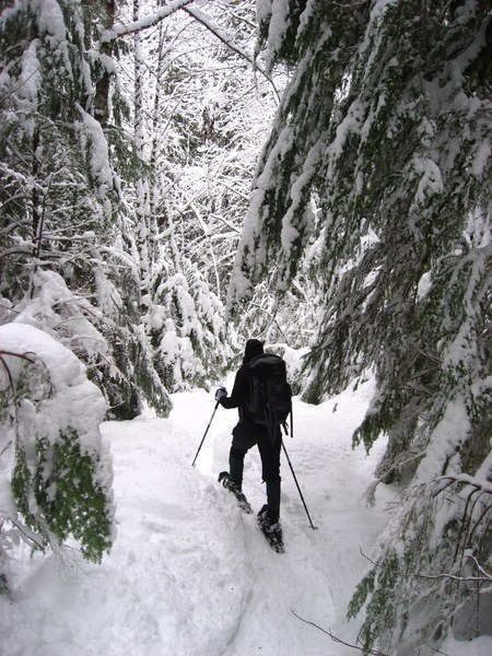

Hiking Marten Creek Snowshoe
Marten Creek Snowshoe
Map & Directions
 Trailhead
Before You Go
Parking Pass/Entry Fee
NoneWTA Pro Tip: Save a copy of our directions before you leave! App-based driving directions aren't always accurate and data connections may be unreliable as you drive to the trailhead.
Getting There
11 miles east of Granite Falls, on the Mountain Loop Highway, find the Verlot Public Service Center on the Mountain Loop Highway (530). Continue driving east on the Mountain Loop Highway for another 9.6 miles to the trailhead at Marten Creek. The signed trailhead is on the east side of the creek, but there is no parking lot, so you'll need to find parking along the road's shoulder.


