
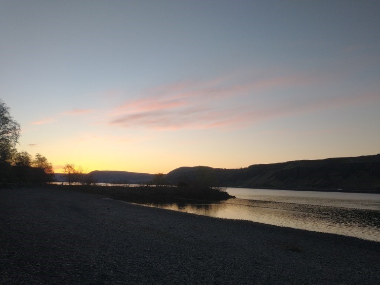

On the edge of the Columbia River, right before Highway 97 crosses into Oregon is Maryhill State Park. Nestled at the foot of rolling hills and on the shores of the Columbia River, the park is a wonderful place for campers and road trippers.
There's not much here in the way of trails at the park proper, but just a mile away from the park is a full scale replica of Stonehenge. Built by Samuel Hill, Stonehenge is a monument to local soldiers who died in World War I.
Maryhill Museum is just up the hill from the campground as well. Also built by Samuel Hill, Maryhill has one of the best collections of private art on the West coast. There are sculptures on the grounds that overlook the river. Visitors can also see far into Oregon, and even glimpse Mount Hood on clear days.
If you're after more of a hike, you can check out nearby Columbia Hills State Park, or Lyle Cherry Orchard from your basecamp at Maryhill State Park.
 Trailhead


