
Maury Island Marine Park is located on the east side of Maury Island, a peninsula of Vashon Island. One of the largest undeveloped properties located directly on Puget Sound with more than one mile of shoreline, the park provides stunning views of the East Passage, Mount Rainier and the Cascade Mountains. The site had significance for early Native Americans and is referenced in a legend about Snake People who arrived from the mainland as part of war party.
The park contains rare stands of Pacific Madrone, a salt marsh, eelgrass beds and significant fish and wildlife habitat for such species as great blue herons, bald eagles, kingfishers, chinook salmon, orca, and bull trout.
Through our Community Partnerships and Grants program (CPG), King County Parks is partnering with the Friends of Maury Island Marine Park to make improvements to the park, including shoreline restoration (in partnership with People For Puget Sound) and installation of a picnic shelter.
WTA Pro Tip: King County Parks has a great map of this area on their website.
Maury Island Marine Park

-
 Length
- 3.0 miles of trails
-
 Elevation Gain
- 500 feet
-
 Highest Point
- 500 feet
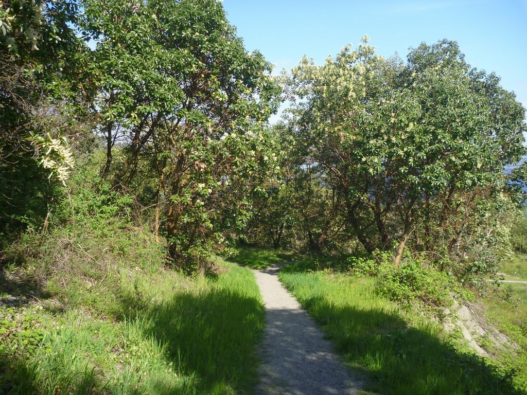
Maury Island Marine Park is located on the east side of Maury Island which is connected to Vashon Island. There is more than one mile of natural shoreline with stunning views of Mount Rainier and the Cascade Mountains. The park is a former gravel mine and contains rare stands of the Pacific Madrone tree. The accessible shoreline allows for scuba diving and an excellent beach walk to observe marine life with a salt marsh at the north end.
Continue reading
Hiking Maury Island Marine Park

WTA worked here in 2025, 2024, 2023, 2022 and 2021!

Map & Directions
 Trailhead
Before You Go
Parking Pass/Entry Fee
NoneWTA Pro Tip: Save a copy of our directions before you leave! App-based driving directions aren't always accurate and data connections may be unreliable as you drive to the trailhead.
Getting There
The park can be reached from Seattle by the Fauntleroy–Vashon ferry and from Tacoma by the Point Defiance–Tahlequah ferry.
Once on Maury Island, head south on Dockton Road SW, east on SW 240th Street, south on 59th Avenue SW, and east on SW 244th Street. There is a parking lot and trail access on SW 244th Street. From the parking lot it is a three-quarter mile walk down a gravel maintenance road to the beach.


