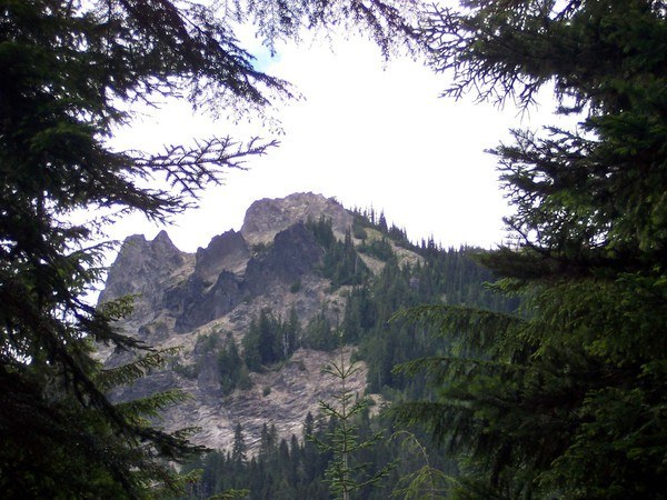
Trails for everyone, forever

Home Go Hiking Hiking Guide McCoy Peak
link

McCoy Peak

South Cascades > Dark Divide
46.3332, -121.7936 Map & Directions
Length
8.4 miles, roundtrip
Elevation Gain
3,200 feet
Highest Point
5,856 feet
Calculated Difficulty About Calculated Difficulty
Hard
  • Mountain views
  • Summits

Parking Pass/Entry Fee

Northwest Forest Pass

Hiking McCoy Peak

McCoy Peak

Map & Directions

Trailhead
Co-ordinates: 46.3332, -121.7936 Open in Google Maps

Before You Go

See weather forecast

Parking Pass/Entry Fee

Northwest Forest Pass

WTA Pro Tip: Save a copy of our directions before you leave! App-based driving directions aren't always accurate and data connections may be unreliable as you drive to the trailhead.

More Hike Details

Trailhead

South Cascades > Dark Divide

McCoy Peak (#259.1)

Gifford Pinchot National Forest, Cowlitz Valley Ranger District

Guidebooks & Maps

South Cascades

Green Trails No. 333 McCoy Peak

You can improve or add to this guidebook entry

McCoy Peak

4 Trip Reports

Hiked here recently?

Submit a trip report!
 
Trip Reports