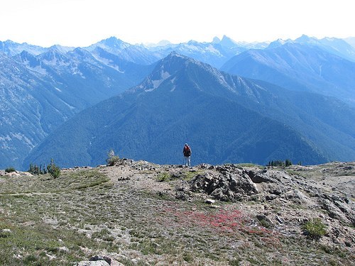
McKay Ridge https://www.wta.org/go-hiking/hikes/mckay-ridge https://www.wta.org/site_images/hikes/mckay-ridge.jpeg/@@download/image/McKay Ridge.jpeg McKay Ridge North Cascades > North Cascades Highway - Hwy 20 Highest Point 7,000 feet McKay Ridge in the middle from Crater Mountain. Photo by Mike Collins. Add Hike to My Backpack Saved to My Backpack Continue reading Rating 4.50 out of 5 (2 votes) Log in to rate 24 trip reports for this trail Write a trip report Hiking McKay Ridge McKay Ridge Map & Directions Before You Go WTA Pro Tip: Save a copy of our directions before you leave! App-based driving directions aren't always accurate and data connections may be unreliable as you drive to the trailhead. More Hike Details Trailhead North Cascades > North Cascades Highway - Hwy 20 News What winter flooding will mean for towns and trails, and how hikers can help December 19, 2025 Learn How to Hike in Bear Country You can improve or add to this guidebook entry! Update page